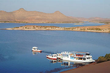
Named after the Egyptian President who started the process, Lake Nasser is a result of the construction of the Aswan High Dam which effectively modernised Egypt, doubling its electic supply and significantly increasing the amount of agricultural land. Between 1958 and 1970, the Nile River was dammed, causing much controversy, and forming Lake Nasser (83% of which is in Egypt, the rest lying in Sudan and called Lake Nubia). The lake is 340 miles (550 km) long, and 22 miles (35 km) across at its widest point.
The lake covers the entire area which once housed Nubain villages containing hundreds of thousands of people. They were relocated to new areas and the Sudanese port and railway town of Wadi Halfa rebuilt. Today ferries cross the lake from Aswan to Wadi Halfa and this is the only connection between the two countries: there is no paved road link. The alternative is to fly. The lake is popular for Nile perch fishing and boating.
Lake Nasser stretches south from the Aswan High Dam. The best way to see it is by boat, perhaps travelling over a few days from Aswan to Abu Simbel. Alternately hire a felucca boat and sail the traditional way.