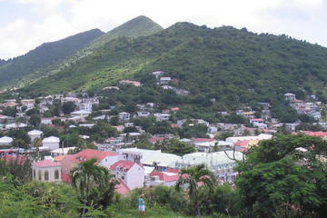
While nothing’s far from anything else on modestly-sized Saint Maarten, the island’s highest point, Pic Paradis, is in a surprisingly inaccessible spot in the mountainous interior. However it’s worth the effort: from the 1,391 foot (424 meter) summit you’ll see the whole of Saint Martin, the surrounding sea and neighboring islands laid out like a map.
On the slopes of Pic Paradis you’ll find Loterie Farm, on the site of a plantation dating back to 1721. As well as hiking and dining the big attraction here is the Flyzone, where - strapped in a harness - you can fly on a cable over the forest canopy.
The road to Pic Paradise leads off the main island ring road near Friar’s Bay Beach on the west coast. Towards the summit the road can only be navigated by four-wheel drive. Alternatively, you can follow the road on foot and with the aid of a map take a different route down, to descend on either the French or Dutch side.