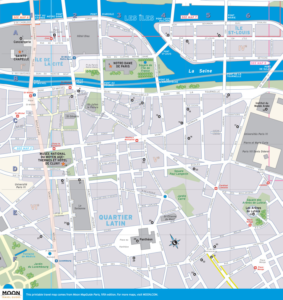
Printable travel map of Quartier Latin & Les Îles. Click to view at full size.
 First developed by the Gallo-Romans, Île de la Cité, Île St-Louis, and the Latin Quarter are the oldest districts in Paris. During the Middle Ages, French kings built the sights that the islands are known for today: Notre-Dame Cathedral, St-Louis en l’Île church, the Conciergerie, and the Palais de la Cité’s private Sainte-Chapelle. On the Left Bank, monasteries and the Sorbonne attracted students from all over Europe whose only common language was Latin, giving the area its “Latin Quarter” moniker. In the 20th century this student-dominated center of bohemianism and radicalism was the starting point of the May 1968 riots that resulted in a nationwide workers’ strike.
Today, tourism and fast food have invaded much of the Quartier Latin, particularly around the boulevard St-Michel and rue de la Huchette. But its narrow cobblestone streets are still worth exploring. Major sights include the world-famous Musée de Cluny medieval museum, the Institut du Monde Arabe center for Arabic arts, and the imposing Panthéon, a monument to France’s heroes, such as Voltaire and Victor Hugo. For shopping, don’t miss the rue Mouffetard market street immortalized in Ernest Hemingway’s A Moveable Feast or the upscale gift boutiques of the adorable, untouched-by-time Île St-Louis.
This neighborhood overview and travel map of Quartier Latin/Les Îles comes from the Fifth Edition of Moon MapGuide Paris. The maps available in our MapGuide series contain markers that correspond to listings for sights, hotels, and other attractions.
You are welcome to download and print this map for non-commercial, non-infringing use, or for use by educators and students in the classroom.×Looking for more free printable maps of Paris neighborhoods? Check out our Paris travel map gallery.