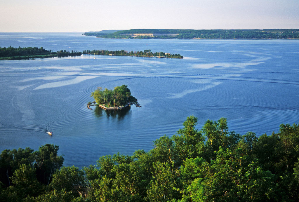
Scenic view of Lake Michigan from Potawatomi State Park. Photo © Wisconsin Department of Natural Resources, licensed Creative Commons Attribution No-Derivatives.
Unfolding along the western edge of Sturgeon Bay and flanked by Sherwood and Cabot Points, Potawatomi State Park (920/746-2890) is known for rolling birch-lined trails atop the limestone ridges scraped off the Niagara Escarpment. Indeed, the stone from here was carted off to build ports all around the Great Lakes. Islets rimmed in hues of blue and gray pepper the outlying reaches off the park (bring a polarizing camera lens on a sunny day). The geology of the park is significant enough that Potawatomi marks the eastern terminus of the Ice Age National Scenic Trail. You won’t need a science background or superlative designations to appreciate its inspiring vistas and solitude; it is simply one of the peninsula’s magical not-to-be-missed natural retreats.
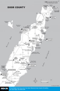
Door County
The great Tower Trail quickly ascends the ridges through thicker vegetation, leading to a 75-foot-tall observation tower and a belvedere vantage point of Michigan’s Upper Peninsula, some 16 miles away, on a good day (check out the sunset).
Beech tree, found only close to Lake Michigan, are a highlight of the nature in the park. Otherwise, expect to see some 50 types of resident songbirds, plenty of hawks riding bluff wind currents, or deer staring quizzically at you from stands of sugar maples, basswood, and white and red pines.
For a quick road trip, head back toward Highway 42/57 but turn right onto Highway C and then right onto Highway M, which takes you all the way to the Sherwood Point Lighthouse; it’s a bit tough to spot. Built in 1883, it took a century before it was finally automated. The 38-foot-high structure guarding the bayside entrance to Sturgeon Bay was constructed with a 10-sided cast-iron light. Closed to the public, today the lighthouse and the old keeper’s house are used as a retreat for the Coast Guard. It is open during designated Lighthouse Festival times, generally in late May or early June.
Almost 11 miles of trails wind through the park; you’ll see hemlock, sugar maple, aspen, and birch trees in addition to the beech trees. The trails become nine miles of cross-country skiing trails in winter. Vertical gain is only around 150 feet, but the trails rise and fall a lot. Maps are available at the nature center.
The easiest trail is the 0.5-mile Ancient Shores Trail that begins near the nature center; it’s loaded with easy-to-understand signs pointing out geology and flora along the way.
The most popular trail is the 3.6-mile Tower Trail, which runs up and over ridges to the observation tower. The most popular trailheads are at the tower itself or at a nearby overlook (an old ski hill) on the main park road. In the southern half of the park, closer to the water,the 2.6-mile Hemlock Trail doesn’t have the sweat-inducing climbing and passes the most popular recreation areas; access it at Parking Lot 2 in the picnic area.
The must-hike trail is the three-mile segment of the Ice Age National Scenic Trail that begins next to the observation tower and runs along the ridgeline above the water; it’s only a small part of the epic trail’s 1,000 miles, but this is where it starts.
An eight-mile off-road bicycle trail also meanders through mostly grassy meadows and mildly challenging terrain. Type-T folks won’t have any trouble, but if you’re a novice, go slowly. Bikes can be rented in the park. The trailhead is at Parking Lot 1 at the picnic area.
Fishing in the naturally protected bay is some of the best in the lower Door, especially for smallmouth bass. The chilled waters also offer some fantastic scuba diving with wrecks visible below. The park has no scuba outfitter on site. Contact Lakeshore Adventures (920/493-3474) in Baileys Harbor for dive trips ($125 pp), which even novices can sign up for. They run Saturday only in July-August. Another outfitter is Dark Side Charters (10302 Townline Rd., Sister Bay, 920/421-3483), farther away in Sister Bay. Canoes and kayaks are also rentable at the park.
A large caveat: There is no sand beach, just lots of rocky shoreline.
Camping at the park’s Daisy Field Campground is very popular, so reserve on the first day possible the winter before your trip. Even with 125 or more sites in two loops along the shoreline, it is always chock-full in summer. A camping cabin is available for disabled travelers in the south loop; it even has a stove, a microwave, and a fridge, along with air-conditioning. A park sticker is required in addition to the campsite fee. Showers are available in season in both loops.
The campground locations are wonderful and you can get sites with splendid views, but they are very close to each other. Prime sites are numbers 54 or 104 as they’re farthest from the madding crowd. Also consider the even-numbered sites 32-50, since they back up on the Niagara Escarpment and provide a bit of isolation.
Good news (or bad news, depending on your personality): They take “quiet hours” seriously. Expect a ranger visit any time after 10pm if you are being too loud.
There is no public transportation; drive your car south of Sturgeon Bay to the bridge over the canal, head west, and then head immediately north—all roads lead to the park. It’s also possible to take an obscenely expensive taxi ride from Green Bay.
Excerpted from the First Edition of Moon Wisconsin’s Door County.