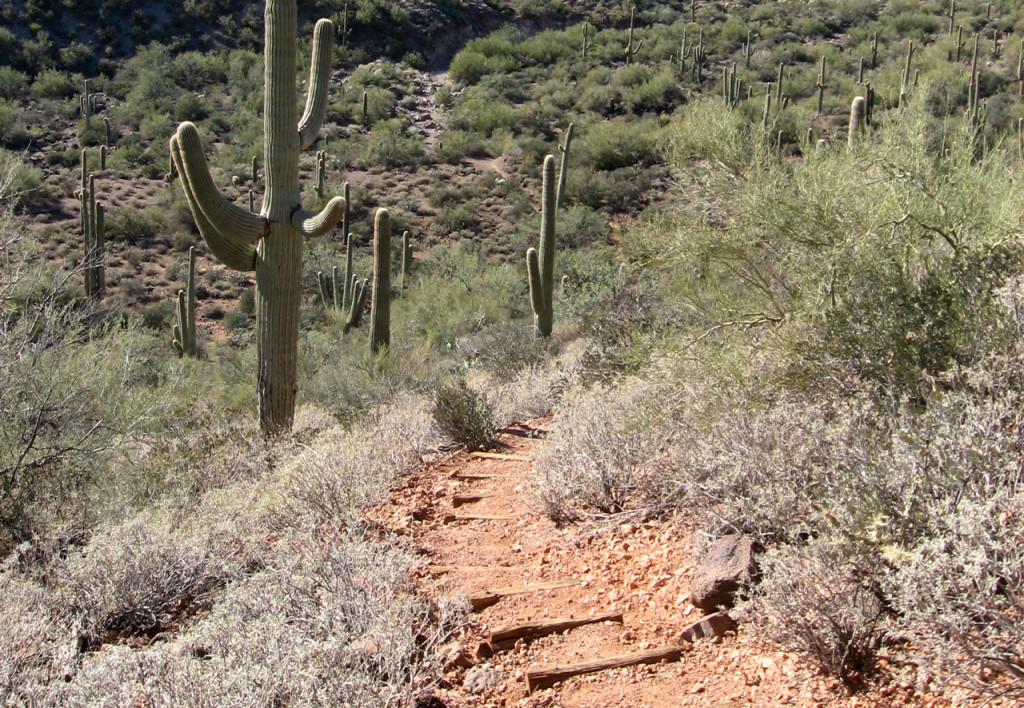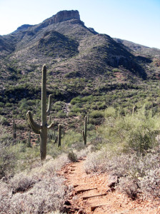
On the trail on the Elephant Mountain loop. Photo © Lilia Menconi.
Continue hiking along the ascent on Spur Cross Trail, heading northwest until reaching the intersection with Tortuga Trail at 0.6 mile. This is the beginning of the loop. Start the north side of the loop by veering right to follow the Tortuga Trail as it continues northwest. At 1.1 miles, and after a 250-foot climb, you plunge into a dry gorge. As you climb out of the gorge, look for the signed Elephant Mountain Trail at 1.5 miles. Hop on the Elephant Mountain Trail, which continues northwest. After a brief 0.2 mile, the trail splits. Ignore the signed turnoff leading to the Tonto National Forest, and instead, veer left to continue along Elephant Mountain Trail heading west. Almost immediately, the trail makes a steep descent into the Boca Grande Wash and follows the wash for the next 0.3 mile. Be on the lookout for footsteps, cairns, and branches flagged with bright pink plastic ties as the trail meanders in and out of the sandy wash. The final exit of the wash occurs at 2.1 mile and is marked by a brown post.

Climb the “elephant” on this hike. Photo © Lilia Menconi.
From the end of the wash, climb a steep shale ascent for just 0.1 mile. This is the start of the main climb up the northeastern slope of Elephant Mountain. When the trail briefly mellows out at 2.4 miles, look for a small trail marker and a narrow trail that descends north. Take it! After a short 25 feet or so, you find the Ringneck Spring, which is now an old-timey water pump and metal bucket. The water is supposedly clean (maybe let the dog test it). Anyway, it’s a short detour, which leads to the rare novelty of a water source in the desert. When ready, turn around and retrace your steps back to the Elephant Mountain Trail and turn right to head southwest.
Welcome to the final climb of the day! Grunt your way up the 350 feet to the Elephant Mountain saddle at an elevation of 3,215 feet. Take in the breeze and glance west to see the (what’s thought to be) Hohokam ruin of a wall. To the southeast, notice the riparian cottonwood trees poking out from the Jewel of the Creek Preserve. Then continue south along the Elephant Mountain Trail for a sweet, sweet (and steep) descent of 775 feet along the south side of Elephant Mountain.
At 3.5 miles total, the steep stuff is over and so is the Elephant Mountain Trail. Hop on the Spur Cross Trail, which forces a sharp left turn to head north, then immediately east. The rest of the hike is super-easy and flat. Ignore the turnoff to Dragonfly and Tortuga Trails at 5.3 miles. At 6 miles, you once again ignore the Tortuga Trail (this is where you started the loop). Take a right turn instead to head east along the Spur Cross Trail, taking the familiar route back over Cave Creek and to the Spur Cross trailhead. Haul south along the dirt road to the gravel parking lot and congratulate yourself—someday, you can say you knew Spur Cross Conservation Area “way back when.”
Cut this hike into a short lasso-shaped loop that skips the climb to Elephant Mountain by combining the Tortuga Trail with the Spur Cross Trail. Begin this hike following the Spur Cross Trail to the northwest. At 0.6 mile, veer right to follow the Tortuga Trail, which continues northwest. At 1.3 miles, the trail splits. Take a sharp left turn to continue along the Tortuga Trail (ignoring the Elephant Mountain Trail) and head southeast. After 0.5 mile, the Tortuga Trail runs back into the Spur Cross Trail. Turn left onto the Spur Cross Trail as it zigzags its way back to its original juncture with Tortuga Trail. Continue along the Spur Cross Trail heading southeast, crossing Cave Creek to the Spur Cross Trail trailhead. This option totals 3.6 miles.
From downtown Phoenix, take AZ‑51 north for approximately 16 miles. Take exit 15B on the left to merge onto westbound AZ‑101 Loop for 1.7 miles. Take exit 28 for Cave Creek Road and turn right onto Cave Creek Road, heading north for 12.3 miles. Turn left onto Spur Cross Road and head north for 0.2 mile. Turn right onto Grapevine Road and go east for 160 feet. Take the first left onto Spur Cross Road and follow it north for 4 miles. The Spur Cross Ranch Conservation Area gravel parking lot is on the right (east). Park, then walk north along the dirt road. Pass through the park gate and pay the fee at the self-pay station. After 0.2 mile, find the Spur Cross Trail trailhead to the northwest.
There is a fee of $3 per person. An annual pass is available for $75. Dogs on leash are allowed. Maps are available at the entrance or online. The park is open daily (6am-8pm Sun.-Thurs., 6am-10pm Fri.-Sat.). For more information, contact the Spur Cross Ranch Conservation Area, 44000 North Spur Cross Road, Cave Creek, AZ 85331, 480/488-6601.
Excerpted from the First Edition of Moon Take a Hike Phoenix.