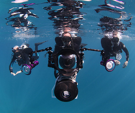
You may recall back in 2010 that Google Street View extended to parts of Antarctica. Now they’re going a step further and taking us underwater to explore Australia’s Great Barrier Reef.Thanks to a partnership between the Catlin Seaview Survey and Google Maps, it’s now possible to observe the reef just as divers do.

Specially adapted underwater tablet-operated cameras are collecting more than 50,000 360-degree images fromAustralia, the Philippines and Hawaii in a bid to create virtual maps of the oceans, share some wonders of the world and show the state of fragile ecosystems over time.