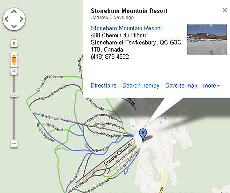
It seems as though there are no limits for Google Maps. Recently we reported that Google Maps had extended to the Great Barrier Reef courtesy of Google’s Street View technology and that Japan’s cherry blossoms had also been captured. Now – just in time for the tail end of the ski season – Google has made it even easier for you to plan your ski trips by releasing ski trail maps for more than 100 ski resorts across the United States and Canada.

Follow this link to have a look around for yourself. Presumably it will only be a matter of time before this is also applied to ski resorts in other parts of the world – perhaps even in time for the next ski season.
So, what do you think? Will this be useful to you when you go skiing? What else would you like to see? All we can think of so far is a directional arrow to show which way the lifts are going – and possibly information on the current snow conditions – but other than that, it looks like they’ve done a great job…