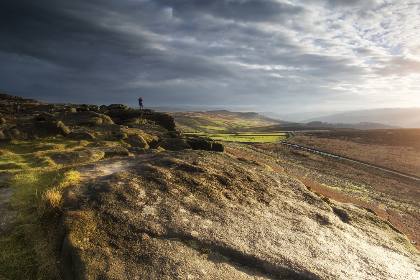
The Pennine Way, Britain’s most well-worn trail, celebrated its 50th anniversary in 2015. It stretches 267 miles from the pretty Peak District village of Edale to Kirk Yetholm in the Scottish Lowlands; completing the entire length takes three weeks and a willingness to endure some of the country’s wettest weather. When the clouds clear, though, you’ll find a landscape of rugged, endless beauty. Yomp across desolate Kinder Scout, where a historic mass trespass in 1932 led to the opening up of Britain’s countryside to ramblers; enjoy picture postcard views of the Yorkshire Dales; and cross Hadrian’s Wall before the long slog over the isolated, ethereal Cheviot Hills. Will there be blisters? You bet. But the reward of seeing England at its wildest is worth the sore feet.

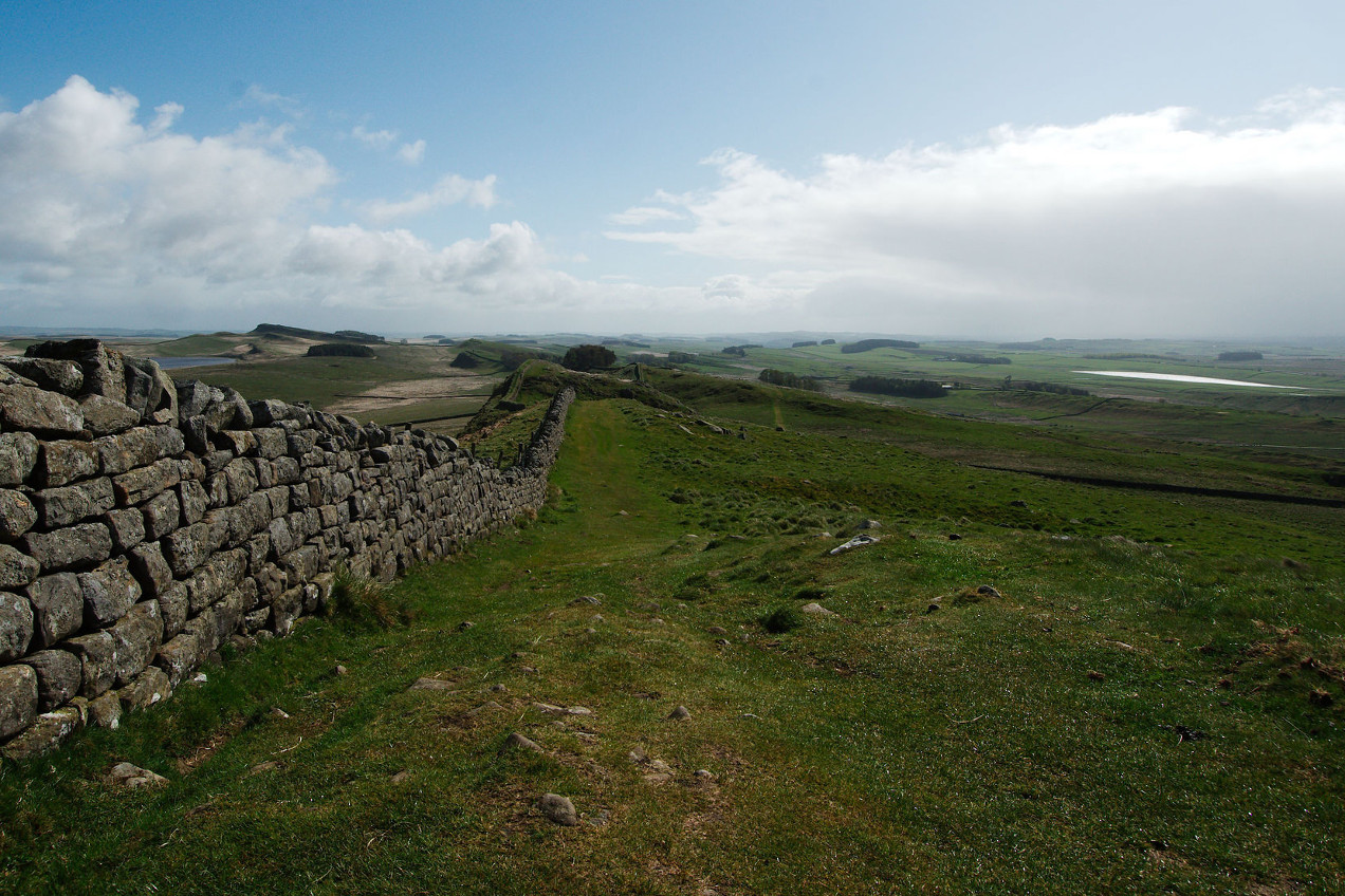
Traditionally tackled east to west from Wallsend to Bowness-on-Solway, this 84-mile path follows Hadrian’s Wall. Begun in 122 AD by the eponymous Roman ruler to act as the northern border of his empire, the wall remains one of Britain’s finest ruins. Walking helps you get to grips with its winding route and lets you explore the ancient milecastles and key sites such as the well-preserved fort of Vindolanda. The views over Northumberland and Cumbria are not too shabby either. Throw in pubs such as the cosy Twice Brewed Inn and you’ve got a pretty-much-perfect setup.

It’s been called Britain’s oldest road, and to walk the length of the Ridgeway is to step back into a prehistoric country of Iron Age barrows and cart-worn drovers’ roads. It’s believed the path, which originally ran from the Dorset coast to the Wash in Norfolk, has been in use for more than 5000 years. Today the official route starts close to the Neolithic site of Avebury in Wiltshire, following a series of paths northeast to the wonderfully named hill of Ivinghoe Beacon in Buckinghamshire. The ancient woodland, hidden valleys and soaring North Downs give the lie to the belief that southern England is a world of commuter towns and motorways.
Built by Mercian king Offa in the 8th century to separate the ancient Welsh kingdom of Powys from what is now the English Midlands, the Offa’s Dyke Path is a great way to see the diverse countryside which marks the border between these two countries. The 177-mile route starts in Prestatyn in North Wales and drops through spectacular scenery in the Clwydian Range and Dee Valley before heading south over the rolling Shropshire Hills. From here it goes on to the Brecon Beacons and the imposing Black Mountain, which bisects the border and serves up huge views on a clear day. It also passes through Hay-on-Wye, home to a world-famous book festival and cosy B&Bs.

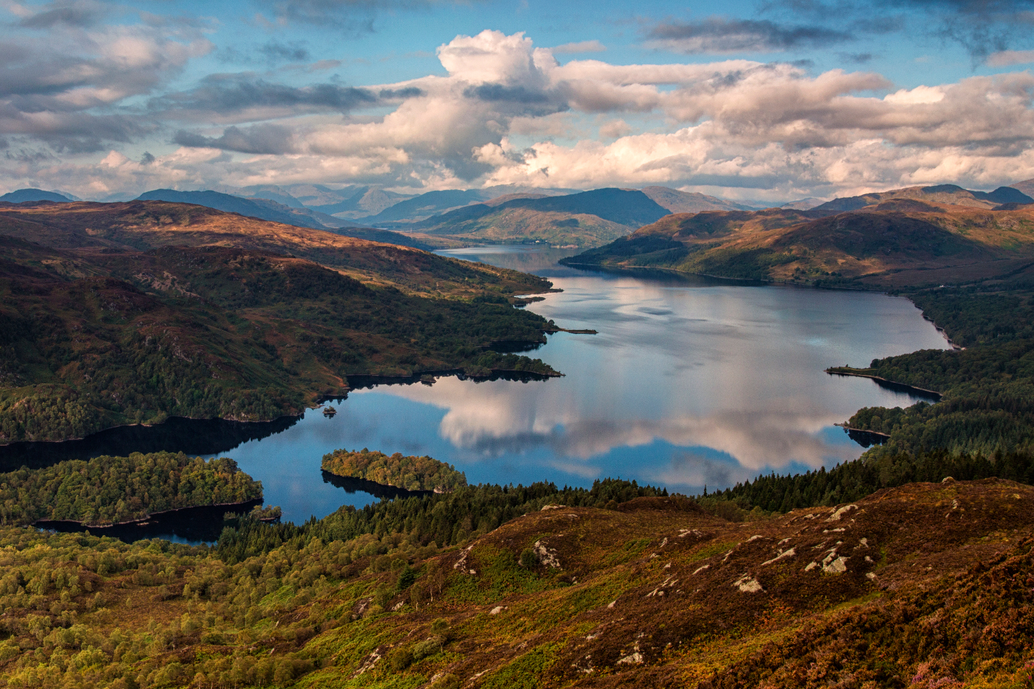
It might seem strange to have a long-distance path in the heart of Scotland named after the man credited with creating Yosemite National Park in the US. But Muir was born in East Lothian in 1838 and his reputation as a man who fought for preservation and the outdoors made him a shoo-in when this extended, coast-to-coast route was christened and opened in 2014. Running from Helensburgh in western Scotland, through the country’s first national park at Loch Lomond & the Trossachs, this stunning path finishes on the beach at Dunbar after cutting through historic Edinburgh. For those who don’t fancy walking, it’s been designed with bikes in mind too.
Dismiss the flatlands of Norfolk and you’ll miss out on one of England’s most atmospheric and beautiful landscapes. Starting in the west at the old holiday town of Hunstanton, this route follows a path over fast-eroding cliffs around to the endless sweep of Holkham Bay, where you’ll find cool pine forests above the dunes. Spend time seal-watching at Blakeney Point and lose yourself in the salt marshes and sea flats of Stiffkey. The skies are impossibly vast here. Finish up in Cromer with traditional fish and chips on the pier, or continue east for a final few miles and take a dip in the galumphing rollers off of Sea Palling.

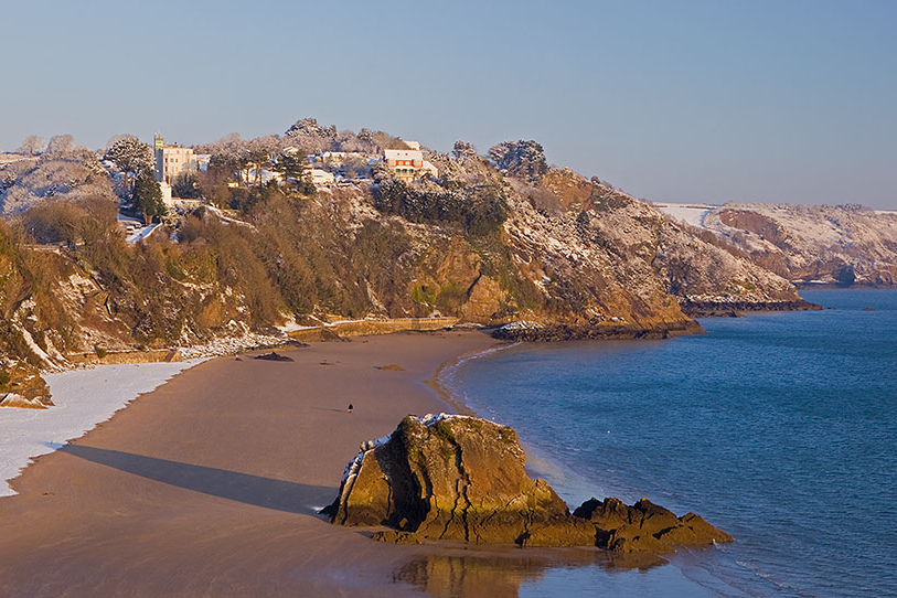
Pembrokeshire offers the British outdoors at its very best. The Pembrokeshire Coast Path winds for 186 miles from St Dogmaels around the coast to Amroth and has a cumulative ascent of 11,000m. Tackling the whole thing should only be done by those in good physical shape. The good news is that it’s worth getting fit for. Tramp up high sandstone cliffs, pull off your boots and trek across some of the finest sandy bays in the world or relax on the calming, flatter routes through winding river estuaries. Bring your binoculars and you’ll see an impressive range of seabirds, including puffins and gannets, feeding out to sea or nesting on the cliffs during the spring and early summer.
For a small country, Britain is blessed with some truly wonderful paths for walkers of all abilities. The Thames Path follows England’s longest river from its Cotswold source out to sea beyond London. The North and South Downs ways also offer superb trails within easy reach of the capital. The long, wild West Highland Way is a Scottish gem to match the John Muir Way, while Glyndwr’s Way is a great introduction to the rural heart of Wales.
Britain’s long-distance paths are well signposted, but it pays to be prepared. You’ll need decent waterproofs, maps and a compass. Camping is an option for hardier walkers, but every route passes through villages and towns with good-quality hostels and B&B accommodation. Be sure to stock up on food, especially dried items, for at least a couple of days, although as with accommodation you’ll find small shops to top up your supplies on the way. If you don’t fancy going the whole hog, it’s easy to tackle a section of each path rather than doing the entire thing in one go.
If you lack experience, go in spring or summer. Winter can be wild and it’s best to avoid high passes and exposed routes between November and March unless you’re a seasoned walker.