It’s a big place, so to help you find your way, here are some of Rocky Mountain’s best hikes.
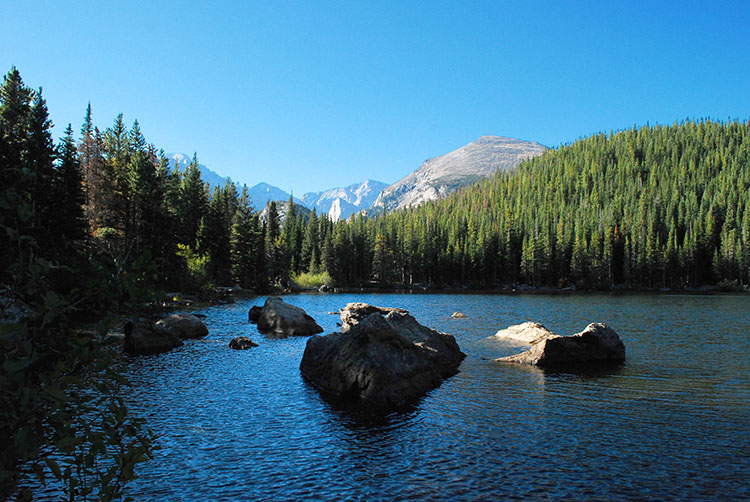
Bear Lake is one of the park’s most popular destinations for first-time visitors, and with good reason. From here you’ll have a front-row vantage point of the dramatic glacial valleys and hulking granite summits that make Rocky Mountain such a singular landscape. With ten lakes in the area and superb vistas, you should definitely expect large crowds.
Hikes here range from easy jaunts around Bear Lake (0.5 miles) or to Alberta Falls (1.6 miles) to more challenging excursions that follow the glacial valleys up to their origins. Mills Lake (5.6 miles) is a good choice, as is the Loch (6.2 miles), which can be extended to the exquisite Lake of Glass and Sky Pond (9.8 miles), both of which are as serene as their names suggest. And while Flattop Mountain (12,324ft, 8.8 miles) may not be the park’s best summit, there’s no denying its magnetic pull from down below. Use the park shuttles to get to the trailhead.
Trailhead: Bear Lake/Glacier Gorge
Difficulty: Easy to strenuous
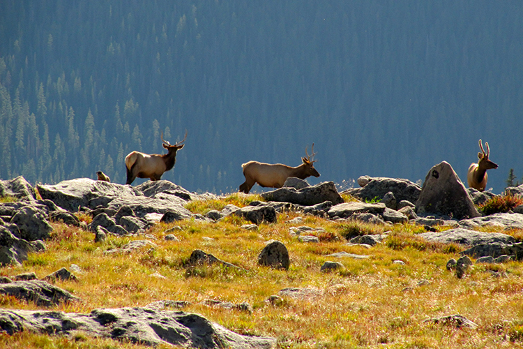
This dayhike is a ranger favorite and known for its diverse scenery. On this hike you'll climb up to the treeline and an alpine lake before dropping back down through fields of scree and into a forested valley. Here you’ll pass more lakes, waterfalls, aspen groves and elk-inhabited meadows.
Thanks to the park shuttle system, this is a one-way trip that requires no backtracking – and what’s more, it’s mostly downhill. You can’t miss Lake Helene, which sits serenely beneath the imposing rough-cut cliffs of Notchtop and Flattop mountains. To do this hike, park at Fern Lake Trailhead (the endpoint), then take the shuttle to Bear Lake Trailhead. Shorten the trip by simply going to Lake Helene and back (5.8 miles).
Trailhead: Bear Lake
Difficulty: Moderate
Total Distance: 9.2 miles
Elevation Gain: 1215ft
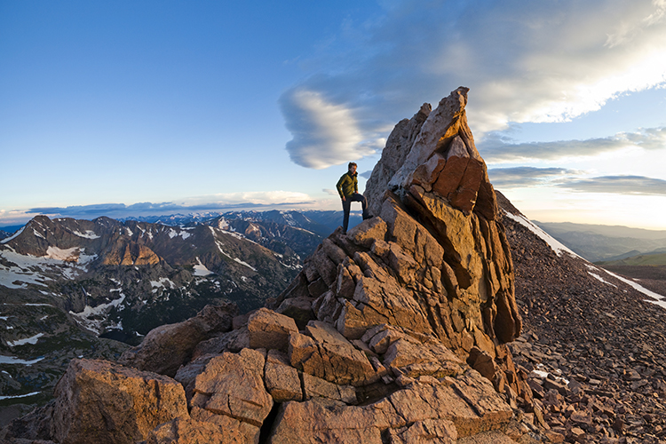
Iconic in every way, Longs Peak is the pinnacle of RMNP and one of Colorado’s classic climbs. The tallest peak in the park (14,259ft), its exhilarating and exhausting Keyhole Route is on many visitors’ to-do list. The top of this route is the crux, consisting of narrow traverses, vertiginous cliff faces and heart-pounding clambering up polished slabs of rock. Most people start the climb by 3am in order to reach the summit before noon.
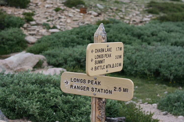
The good news is that you don’t have to reach the summit or turn your legs to jelly. Chasm Lake, located at the foot of the Diamond – Longs’ legendary east face where technical climbers rope up to scale the 1000ft wall – is routinely rated as one of the park’s best hikes. Chasm features all the spectacular scenery of the peak without the risk and arduous ascent. However, at 8.4 miles round trip, you’ll still need to be in very good shape.
Trailhead: Longs Peak
Difficulty: Very Strenuous
Total Distance: 15 miles
Elevation Gain: 5100ft
At the northeastern end of the park is Lumpy Ridge, composed of 1.8-billion-year-old granite formations that were sculpted by the elements rather than by glaciers. This markedly different style of erosion has resulted in an array of whimsically shaped boulders, balancing rocks and colossal domes. The trail to Gem Lake is a great way to explore the area, with superb vistas back to the Continental Divide all the way up to the bijou-like lake.
Kids love the abundant scrambling opportunities in this area (as do rock climbers), making it a good family hike. While relatively short, the elevation gain will keep you puffing.
Trailhead: Lumpy Ridge
Difficulty: Moderate
Total Distance: 3.6 miles
Elevation Gain: 910ft
One of the easier peaks to access along the Continental Divide, Mt Ida (12,880ft) is a choice spot to enjoy a prolonged top-of-the-world feeling and monumental views in all directions. Perhaps because it is on the western side of the park, this is a relatively unknown summit and an excellent place to escape the crowds along Trail Ridge Road. Indeed, most of the drivers across the valley will be craning their necks in admiration of the ridge you’re about to ascend.
This is a relatively gradual ascent, following the Continental Divide Trail past miniature alpine wildflowers (whose roots extend six feet below ground) all the way to the summit. The last stretch is a clamber through boulder fields and past a few false peaks – the reward is soon to come, with a sheer drop-off on the eastern side of the ridge that looks down upon a string of icy-blue alpine lakes.
Trailhead: Milner Pass
Difficulty: Moderate to Strenuous
Total Distance: 10 miles
Elevation Gain: 2122ft
