Stage 1: The descent
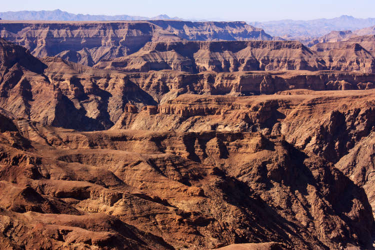
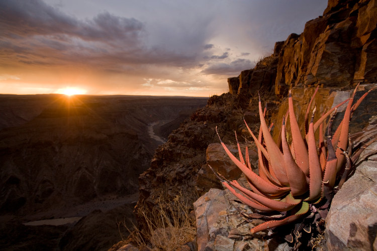
Local legend has it that the snaking canyon was created by the whiplash of a dragon’s tail. Standing at the trailhead, 12km south of the Hobas campsite where the night before the trek is spent, it is possible to see the logic of the myth, as the canyon carves its tortuous path through the otherwise flat and arid Koubis plateau. The half-mile descent to the canyon floor takes one to two hours and is the toughest part of the trek, although the chains embedded in the rock face help take some pressure off the knees. It is best done in the late afternoon, when the rocks are livid red and the heat of the day has exhausted itself. At the bottom, make camp on the large soft sandbank and get a good night’s sleep for the long days ahead.
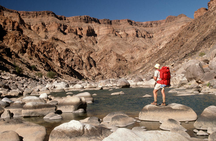
The 13km trek through the upper canyon takes in startlingly dramatic scenery. The vertical walls profile twisted rock formations – layers of gneisses formed one and a half billion years ago by enormous tectonic uplift when the supercontinent of Gondwana was torn into three (eventually forming South America, Africa and Antarctica). The path is strewn with giant boulders, the detritus of glacial melt millions of years ago, and there are shaded rock pools that make for great after-lunch swimming. Stop at the Palm Springs sulphur pools for a footbath before trekking onwards to make camp away from the fumes. This section of the trek can be split into two days, as navigating the boulder fields can be challenging.
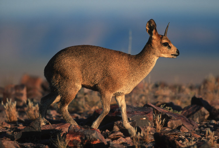
The 16km section of the trail after Palm Springs is less challenging, crisscrossing the gravel riverbed (for which trekking sandals are essential) and wading through reed-fringed pools that attract small wildlife such as the tiny klipspringer antelope, hyrax and even the rare Hartmann’s mountain zebra. En route, more strange rock sculptures present themselves, including a mini 'Table Mountain' and the Three Sisters rock towers, which turn a lurid orange in the setting sun and act as a good spot for making camp.
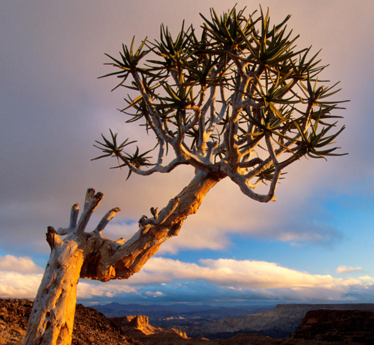
For a closer look at some of the canyon’s strange geological formations, backtrack slightly from the Three Sisters and take the well-worn track uphill on the left-hand side of the river while hiking back up the canyon. After a short ascent is the impressive Four Finger Rock, a weathered series of pinnacles that sit oddly atop the canyon like a stunted crown. The next 20km stretch is dotted with more weird and wonderful flora and fauna, such as the spiky desert-adapted quiver tree, Namibia’s national tree (it flowers between May and July). And if lucky, glimpses of Namibia’s wild horses, thought be descendents from the herds of German colonists who abandoned them in the desert after World War I, are possible. One such colonist was Second Lieutenant Thilo von Trotha, who was killed in 1905 during a confrontation between German soldiers and the local Nama people – he is buried along the route. Make camp near a suitable water source in the evening.
The last 30km of the trail can either be completed in a day or split into a more leisurely two-day hike. The route, along the alluvial river plain of Fish River, is flat and easy going all the way to Ai-Ais springs. Ai-Ais means 'burning water' in the local Nama dialect, and refers to the natural hot springs that feed the swimming pool at the luxurious /Ai/Ais Hot Springs Spa. Transport is available at Ai-Ais back to the start of the trail, where you can pick up your vehicle.
This article was first published in May 2012 and was refreshed in October 2014. Additional research by Matt Phillips.