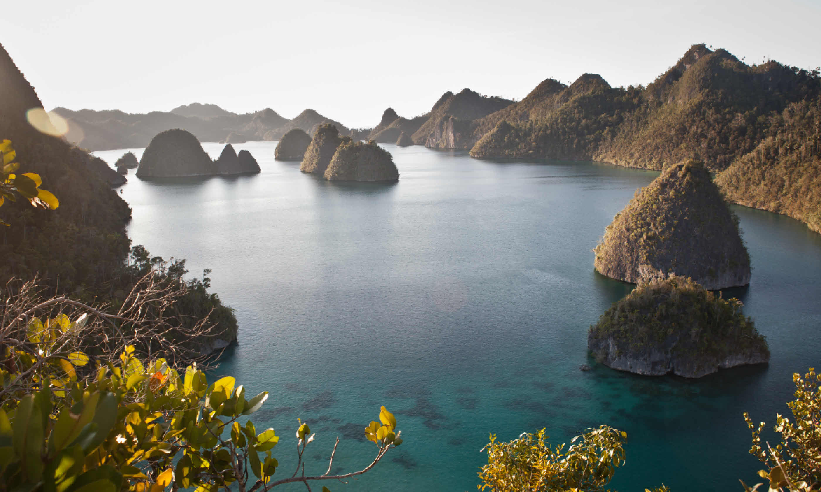
12 of the world's most incredible islands
Crowd-free crescents, UNESCO-listed dots, the map's hardest-to-reach corners... We've scoured the globe to find the most enchanting islands you've (probably) never heard of but really should visit
1. Channel Islands, USA
Coordinates: 34°00’N 119°48’W
Area: 909 sq km
Population: 3,700
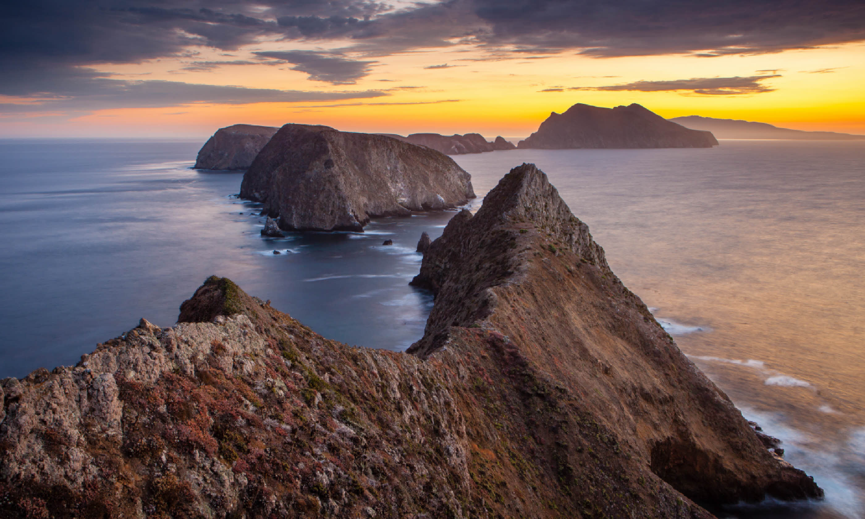 Inspiration Point on Anacapa Island, Channel Islands (Flickr Creative Commons: Brian Hawkins)
Why go?
 Dive with sea lions, watch humpbacks breach, snorkel through kelp forests and train your binoculars on the birds (including ten endemic species) – the Channel Islands, eight low-lying isles stretched along California’s Pacific coast, are the natural world’s Hollywood. This largely uninhabited and largely protected haven is a place where wildlife can flourish – their relative isolation has allowed a rare coastal Mediterranean-type habitat to develop, encompassing 790 types of plants.
However, it’s in the water that things get most exciting, with a diversity of dolphins, seals, whales and more drawn here to feed and breed. Cetacean-spotting boat trips could yield humpbacks, orca, fin, grey and blue whales. Better, stay longer: each of the five islands within the national park has a campsite, from where you can make forays by foot, kayak or boat.
When to go: The islands are visitable year-round. Summer and autumn are best for snorkelling, diving, kayaking and swimming. Grey whales are present December-April; blues and humpbacks April-September.
How to go: Flights in small
twin-engine planes run to Santa Rosa Island from Camarillo (25mins), 100km north-west of LA. Boats leave from Ventura, 140km north-west of LA;
Island Packers runs a range of trips.
2. Raja Ampat, Indonesia
Coordinates: 0°14’S 130°31’E
Area: 46,000 sq km
Population: 48,000
Why go? Raja Ampat means Four Kings, which is misleading seeing as more like 1,500 islands make up this remote archipelago off the north-west coast of Papua. It is certainly fit for royalty though, comprising 46,000 sq km of gloriously fashioned landscapes and clear, turquoise seas.
The islands themselves vary enormously: some are barely a bump of jungle-cloaked karst; some rise out of the blue like clusters of mushrooms; others – such as Waigeo and Misool – are larger, and ideal for homestays with local Biakese people and hikes to rock art and ancient cliff burial sites. However, it’s the region’s waters that really draw intrepid travellers.
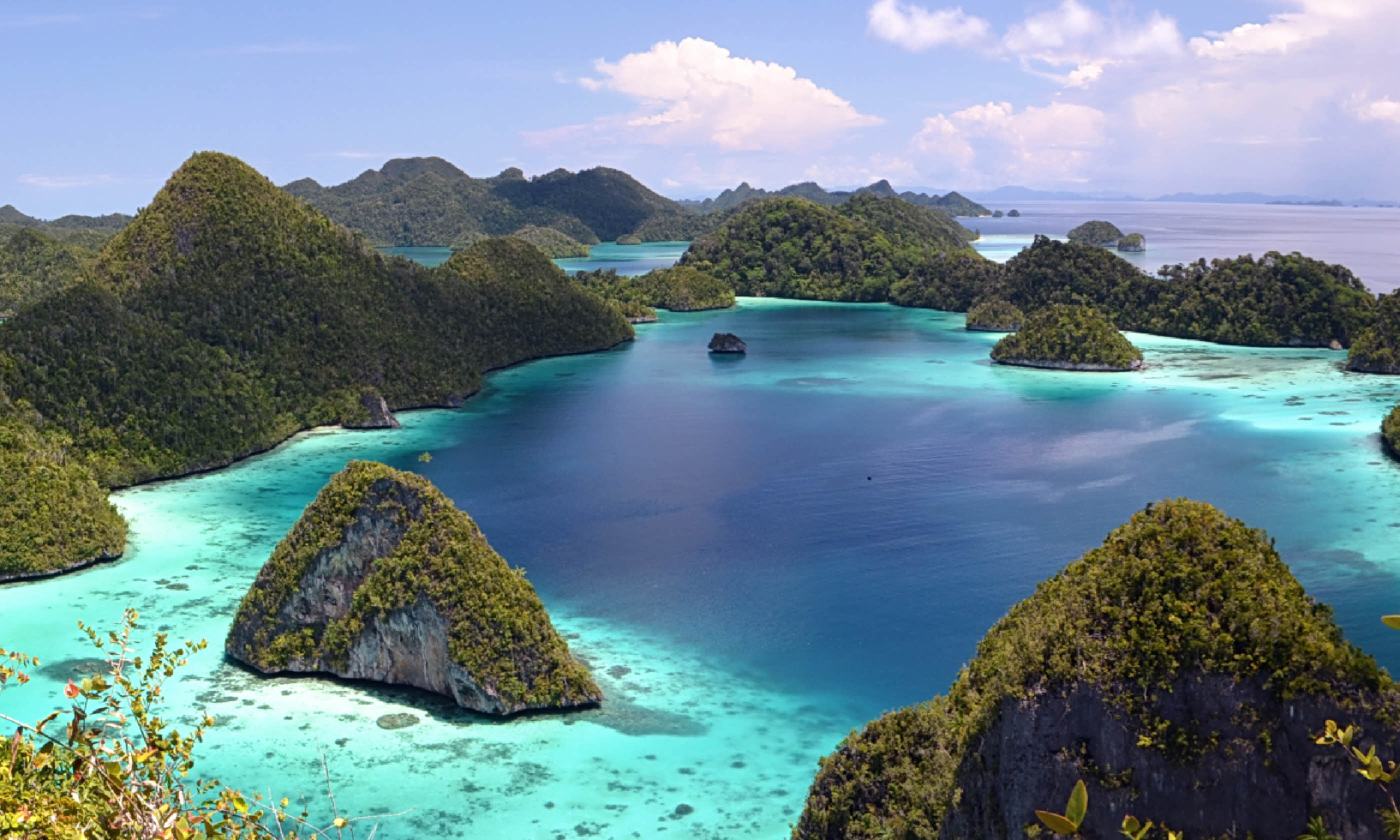 Wayag Island panorama, Raja Ampat (Shutterstock)
Raja Ampat is at the heart of the Coral Triangle and, according to Conservation International, has the highest marine diversity in the world – 75% of the world’s coral species have been recorded here, along with 1,430 species of reef fish and six of the world’s seven marine turtle species.
Joining a liveaboard dive trip is an excellent and efficient way to navigate. Good dive sites include Sardine and Chicken reefs, where snappers and fusiliers throng, and The Passage, off Waigeo, a fine shallow dive amid mangroves and soft coral.
When to go: October-April is the best time – the weather is drier, the seas calmer and underwater visibility greatest.
How to go: Flights to Sorong (West Papua), the gateway to Raja Ampat, run from Jakarta (4hrs), Makassar (South Sulawesi; 2hrs) and Manado (North Sulawesi; 3hrs). Ferries link Sorong to Waisai (2-3hrs), the capital of the archipelago.
3. Masirah, Oman
Coordinates: 20°28’N 58°48’E
Area: 649 sq km
Population: 12,000
Why go? Members of the RAF once based on Masirah dubbed it Fantasy Island – though not because of its wonders, but because getting anything you wanted while stationed here was pure fantasy. Still, the lack of development that frustrated expats will excite travellers: this hilly outcrop of sand and palm trees is one big natural oasis.
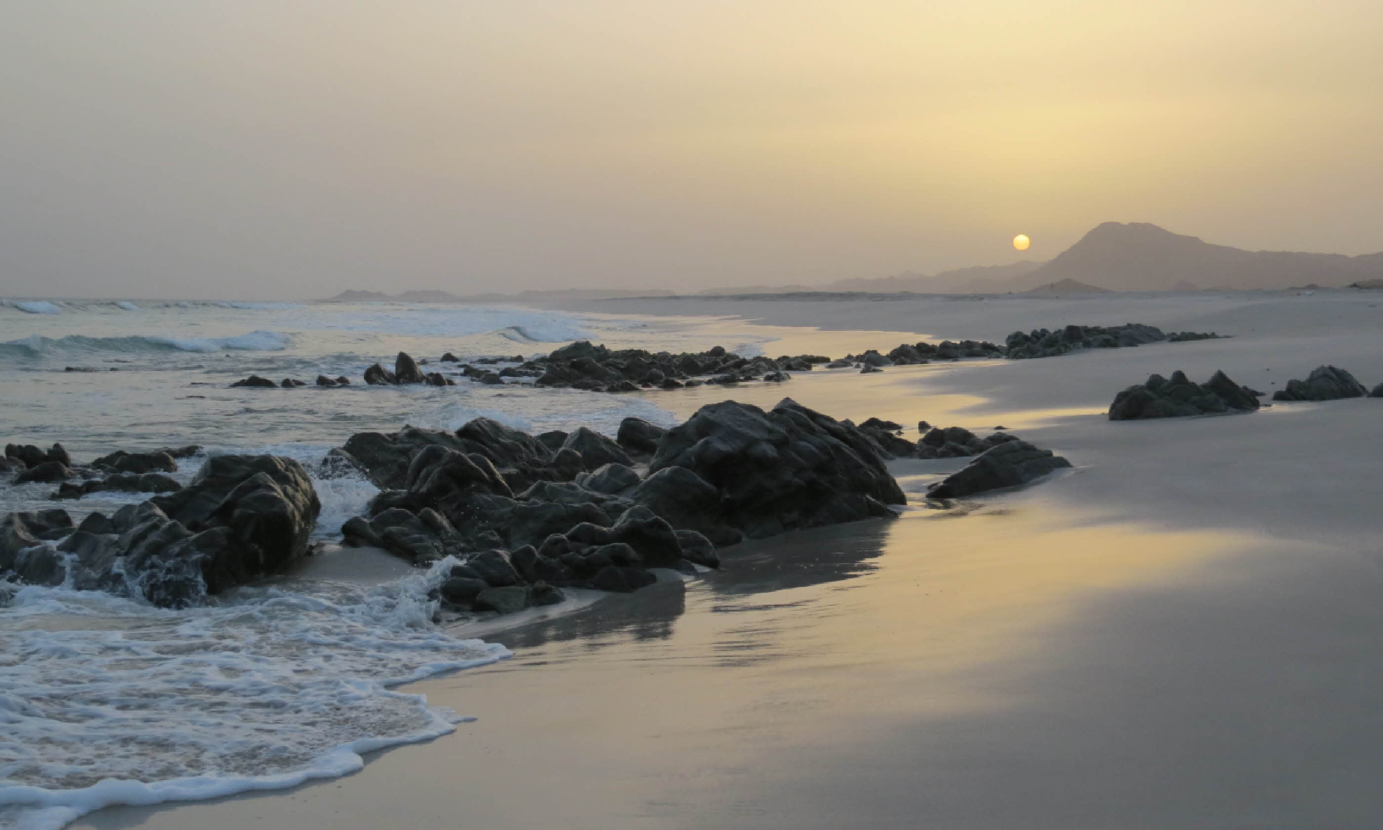 Image: Hazel Plush
Birds, including flamingos and oystercatchers, flock beaches strewn with rare shells and the wrecks of salt-encrusted dhows. However, turtles are the main draw – four species come here to nest throughout the year, including one of the world’s largest populations of loggerheads, numbering around 30,000.
A hike up Jebel Humr (274m), Masirah’s high-point, provides a good island overview.
When to go: The weather is cooler and less humid November-April. Green turtles nest July-October and hatch September-December. Loggerheads nest May-September and hatch July-November. Olive ridleys and hawksbills nest February-May and hatch April-August.
How to go: Ferries leave from Shana’a (5-6hr drive south of Muscat); the crossing to Hilf, Masirah’s main town, takes from 1.5hrs.
4. Christmas Island, Australia
Coordinates: 10°29’S 105°38’E
Area: 135 sq km
Population: 2,700
Why go? Discovered afloat in the Indian Ocean on Christmas Day 1643, this Australian territory – the summit of a submerged mountain – is closer to Indonesia than its motherland.
It’s certainly tropical in feel, cloaked in rainforest and rich in endemic species. Foremost of these is the Christmas Island red crab – around 120 million of the crimson crustaceans live here. And once a year they make a mass migration from their forest burrows to the sea to breed. Spurred by the phases of the moon, they sideways-skitter down cliffs, over rocks and across roads to reach the coast.
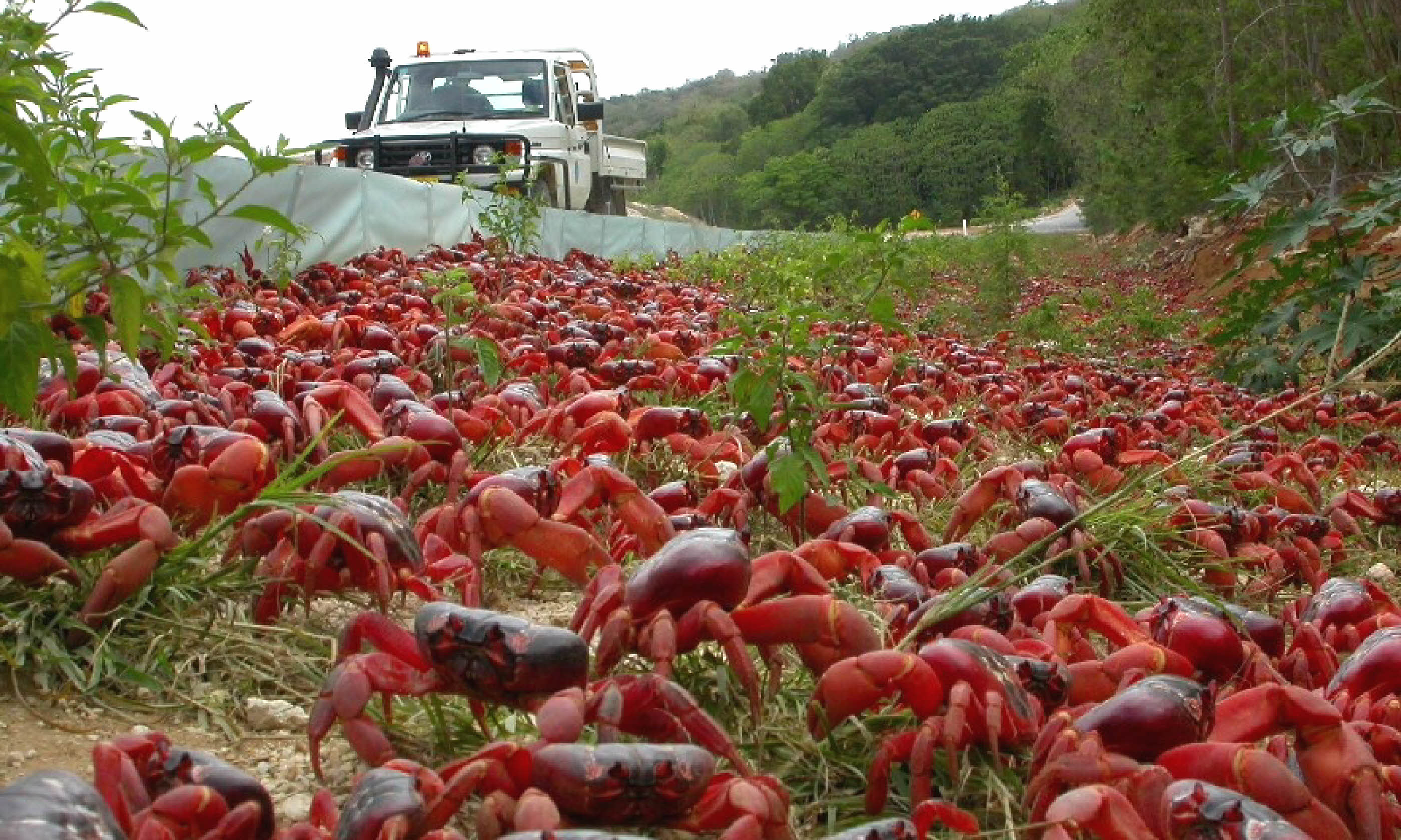 Image: Tourism Christmas Island
It takes some luck with timing to catch them (though Parks Australia issues predictions), but there’s more to this island than its relocating crabs. The diving is superb (come November-April for whale sharks); the birdwatching raucous (80,000 seabirds nest here); and, with 63% of the island designated as a national park, the hiking is varied and pristine.
When to go: Temperatures vary little (22-28°C year-round). Wet season is December-March. The red crab migration usually occurs November-January.
How to go: Flights to Christmas Island leave from Perth (3.5hrs) and Jakarta (1hr).
5. Snow Hill Island, Antarctica
Coordinates: 64°28’S 57°12’W
Area: 371 sq km
Population: 0
Why go? Though Snow Hill Island was discovered in 1843, its 4,000-strong colony of emperor penguins – the biggest penguin species – was only found in 2005. It’s unsurprising: this icy outcrop is remote even in Antarctic terms, often hemmed in by the frozen, floe-choked Weddell Sea.
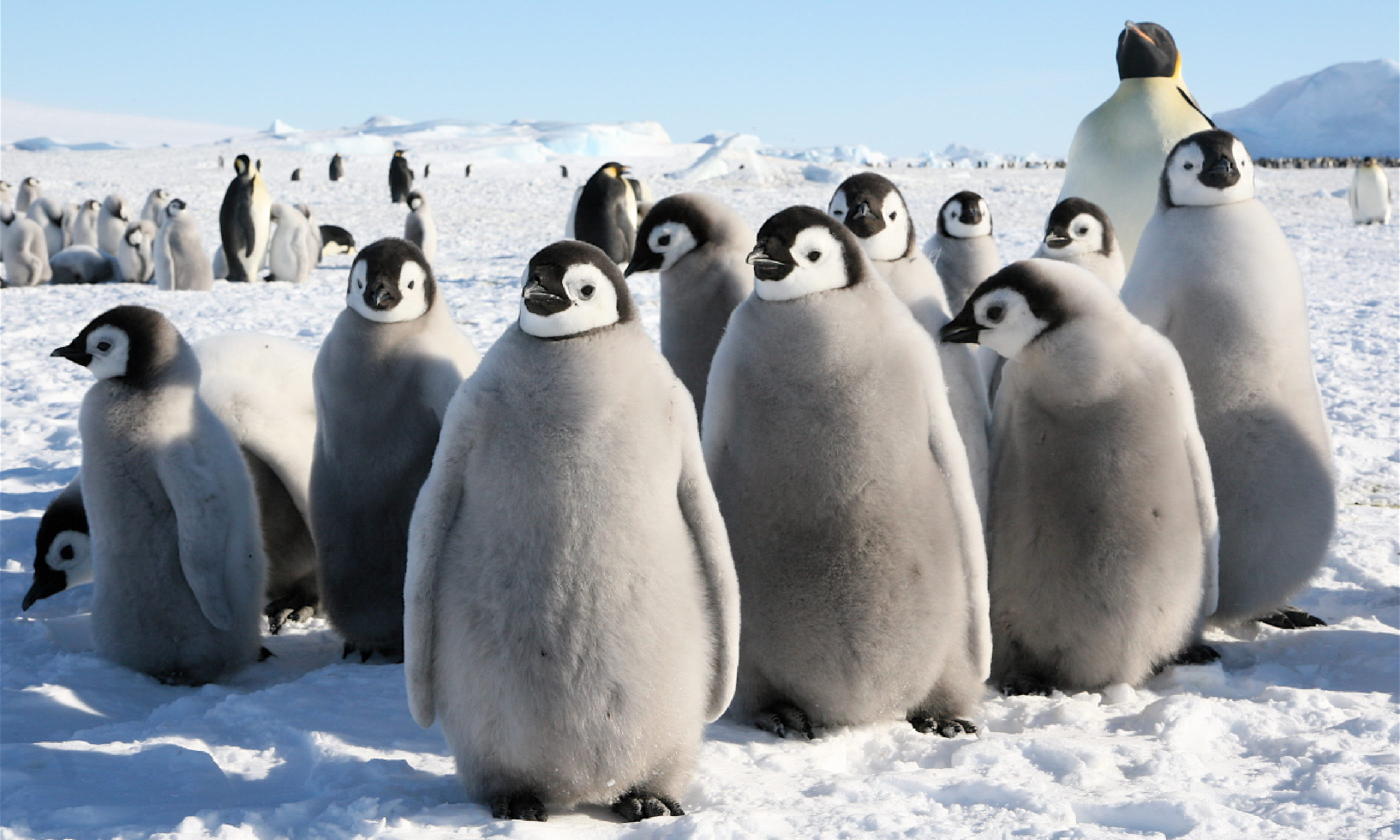 Image: Snow Hill Island (Flickr Creative Commons: Martha de Jong-Lantink)
Indeed, it often takes an off-ship, weather-dependent helicopter excursion to reach the rookery; choppers land several kilometres away to minimise disturbance. If you do make it to the island’s south-west corner, one of the world’s greatest wildlife experiences awaits: a noisy gaggle of regal birds, the adults up to 120cm tall, tending their fluffball chicks in the middle of pristine polar nowhere.
When to go: November-December, to see the emperor penguins with their chicks.
How to go: Expedition cruises leave from Ushuaia (Argentina); a few head for the Weddell Sea and attempt to reach Snow Hill Island, using helicopters to get closer to the colony.
6. Fernando de Noronha, Brazil
Coordinates: 3°51’S 32°25’W
Area: 26 sq km
Population: 2,720
Why go? Some 350km adrift from the Brazilian mainland, and a smidgen south of the equator, the Fernando de Noronha archipelago is a 21-island eco-paradise.
The waters are impossibly emerald, the ethos equally green – 70% of Noronha is protected in a national park, and visitors must pay a mandatory Environment Protection Tax on arrival.
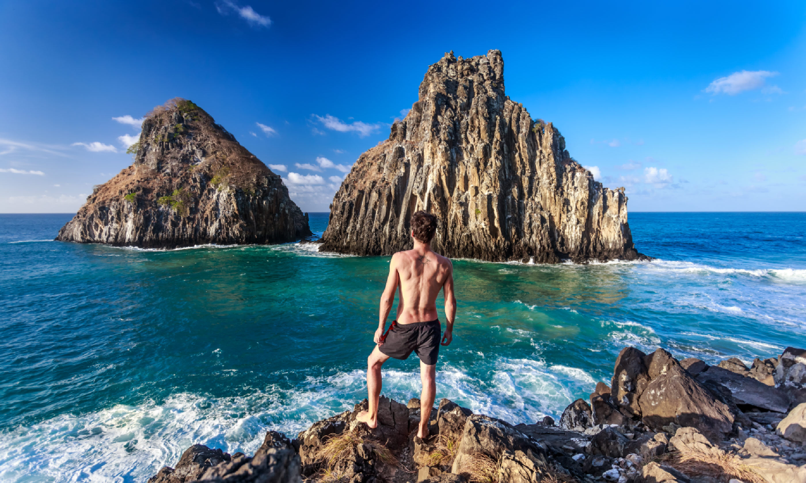 Image: Fernando de Noronha, Brazil (Shutterstock)
UNESCO also approves, having inscribed the archipelago on its list for its rich waters (which are ‘extremely important for the breeding and feeding of tuna, shark and turtle’) and its avifauna – Noronha is home to the largest concentration of tropical seabirds in the Western Atlantic. It’s also just a beautiful place to be.
The beaches, even by high Brazilian standards, are spectacular, with Praia do Sancho generally considered pick of the bunch. The water is full of frolicking spinner dolphins and (allegedly) friendly lemon and nurse sharks. There are also abundant reef fish; some are nice to swim with, others turn up at delicious beach barbecues.
The hiking is good too: hit the Esmeralda Coast Trail to spot diving pelican or trek to Pedra Alta Little Point, site of Brazil’s first shipwreck.
When to go: The dry and high season is September-March. Maximum temperatures average in the high 20°Cs year round. Turtle nesting and hatching season is December-July.
How to go: Flights to Noronha leave from Natal (1hr) and Recife (1hr) on the mainland.
7. Wrangel Island, Russia
Coordinates: 71°14’N 179°25’W
Area: 7,600 sq km
Population: 0
Why go? Why indeed – you’d think you’d want to avoid this hostile, hard-to-reach Russian zapovednik (strict nature reserve), which remains littered with the detritus of would-be settlers past. But in the summer months, when the daylight is continuous and the melted sea ice permits ships to come close, Wrangel is one of the hottest wildlife tickets in town.
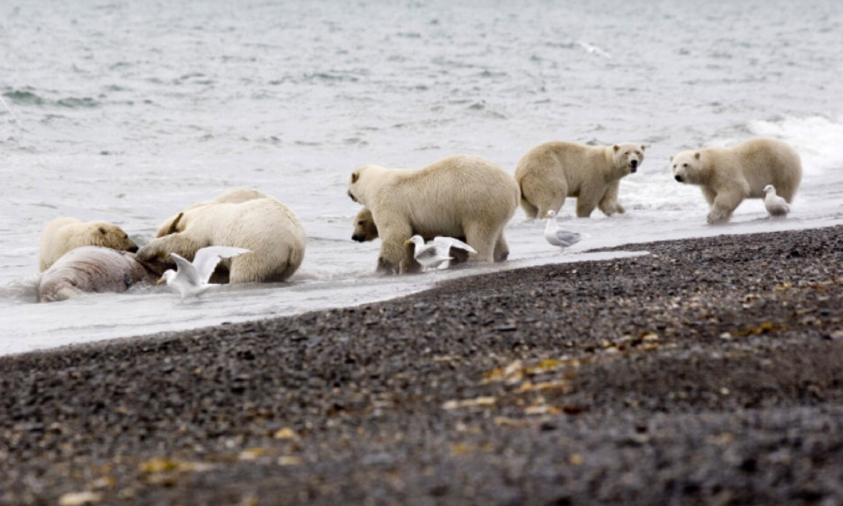 Bears on Wrangel Island (Flickr Creative Commons: International Fund for Animal Welfare Animal Rescue Blog)
Thought to be the last redoubt of the woolly mammoth (which survived here until around 2000 BC), the island is now home to a high density of polar bears (around 350-500) plus reindeer, musk ox and Arctic fox. It’s also beloved of 80,000 Pacific walruses, which gather on the rocks and floes here to breed. And birdlife is abundant: snowy owls nest on the tundra, snow geese flock on the 900-odd lakes and colonies of kittiwakes clamour on the cliffs.
When to go: July-August, when temperatures peak at around 15°C. This is when walruses gather, the island’s 400 plant species burst into life and cruises run.
How to go: Only accessible by very few specialist expedition cruises a year. Voyages leaving Nome (Alaska) may also include the Russian Kamchatka and Chukchi peninsulas.
8. Dahlak Archipelago, Eritrea
Coordinates: 15°50’N 40°12’E
Area: 643 sq km (main island only)
Population: 2,500
Why go? If you think Sharm el-Sheikh lacks a certain cachet these days, then the Dahlak Archipelago is the Red Sea spot for you. Comprising more than 200 islands – only four of which are inhabited – the whole area is a national park, where the few locals still herd goats, rear camels and fish in traditional ways, and where the wildlife really rules the roost.
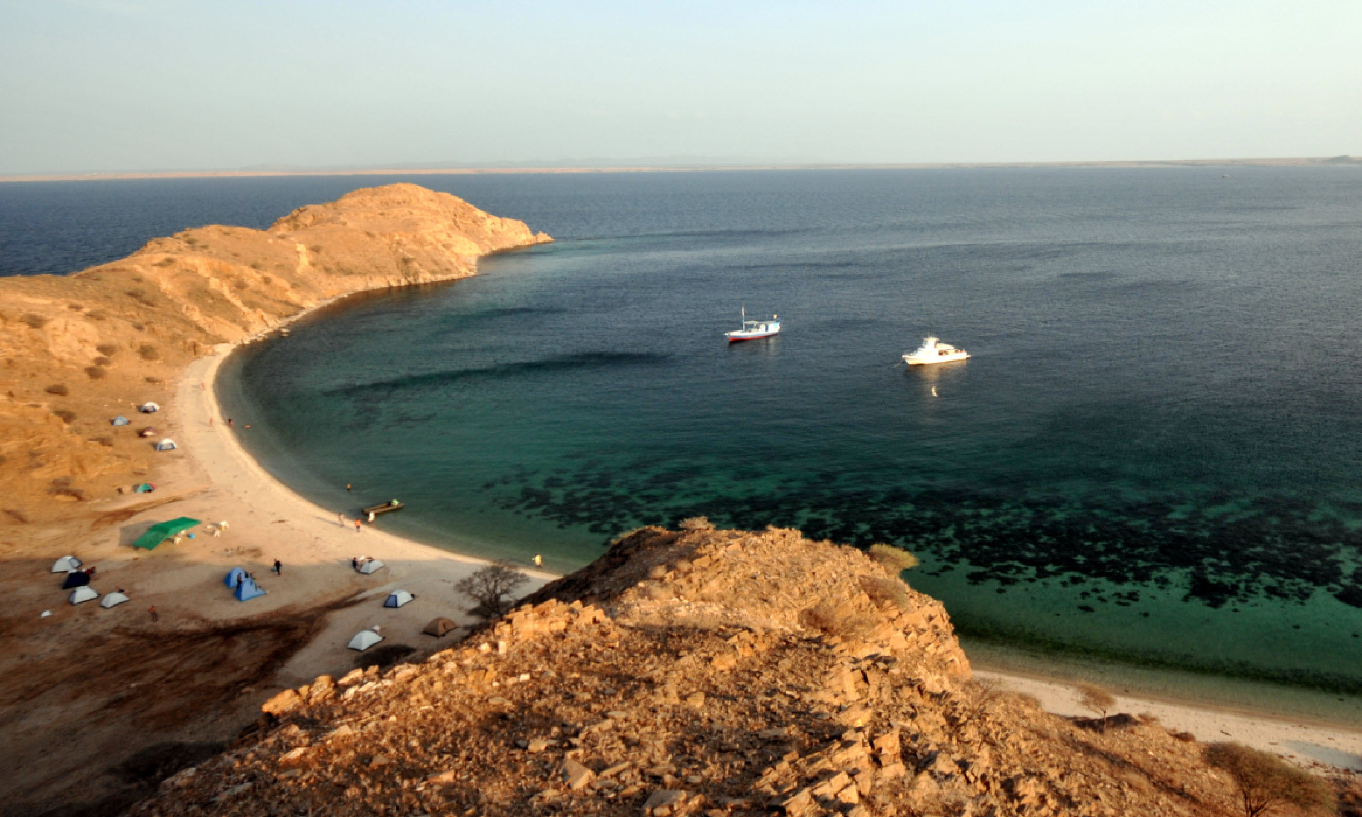 Dahlak Isles (Shutterstock)
The diving is superb; as a consequence of years of war with Ethiopia, large-scale fishing was halted here, and a profusion of sea critters remains. Also, the ships and military hardware sunk in the wake of the conflict – particularly at Nokra, on the main island of Dahlak Kebir – are now rife with marine life, from colourful corals to turtles and rays. As some of the wrecks are only a few metres deep, they’re explorable by anyone with a mask and snorkel.
When to go: The best times to visit are April-early June and September- November. The rainy season is December-March; July-August is very hot.
How to go: The nearest mainland port to the archipelago is Massawa, 120km from Eritrea’s capital Asmara. Permits are required to visit the Dahlak islands; for tour companies licensed to take travellers there, see
www.eritrea.be.
9. Cape Verde
Coordinates: 15°06’N 23°37’W
Area: 4,033 sq km
Population: 531,046
Why go? Ten volcanic islands make up Cape Verde – but most tourists see only one of them. Sal has an international airport and an awful lot of sand; the windsurfing’s good too. But there’s more to this Atlantic archipelago, lurking 570km west of Senegal.
Santiago, the biggest island, has lush and craggy mountains, good for walking. Its UNESCO-listed Cidade Velha was the first city built by Europeans in the tropics and has impressive remains including a royal fortress and Pillory Square.
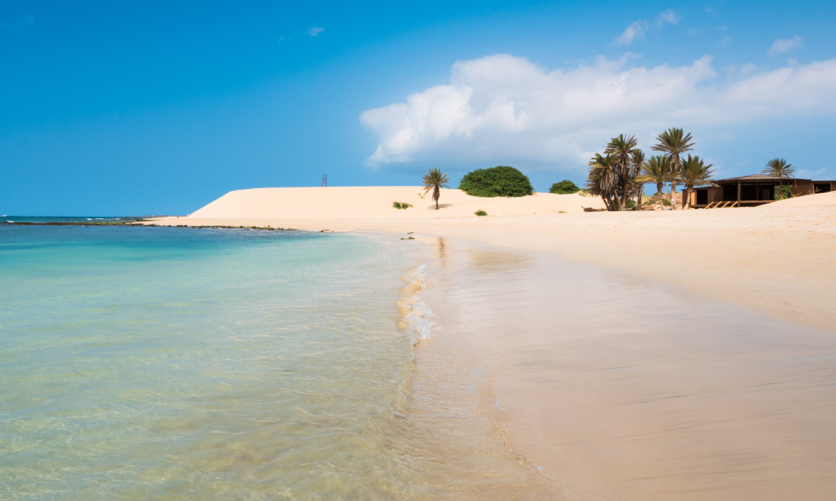 Boavista, Cape Verde (Shutterstock)
São Vicente is the place to dip into Cape Verde’s musical heritage; hit the bars of its main town, Mindelo, to hear live morna and coladeira – the area’s creole-inflected music.
Perhaps most worth a ferry ride is Santo Antão, a geological wonder of high peaks, where villages teeter on verdant valleysides and seemingly everything grows – from banana palms and pineapples to pines, carobs, eucalypts, dates and almonds. Driving the old road from Porto Novo to Ribeira Grande will showcase the island’s rugged richness.
Also seek out Vila das Pombas, where tiny pastel-painted houses line the promenade against a backdrop of coconut palms.
When to go: Cape Verde is sunny and warm year round. Rainy season is July-October.
How to go: Charter flights fly direct from UK airports to Sal and Boa Vista (6hrs); scheduled flights require a change in Lisbon. Domestic flights hop between islands (except Santo Antão and Brava, which don’t have airports). Ferry services operate but can be irregular; there is a daily ferry between São Vicente and Santo Antão (55mins).
10. Åland Islands, Sweden/Finland
Coordinates: 60°07’N 19°54’E
Area: 6,787 sq km
Population: 27,500
Why go? The Åland Islands do it their own way. Adrift in the north Baltic Sea, this cluster of 6,500 outcrops is ‘an autonomous and monolingual Swedish region of Finland’. It even has its own stamps and its own flag.
It’s also the place to have a proper Scandinavian summer stay. Rent a cottage by the coast on the main island, Fasta Åland – itself, only 50km north to south – and make the most of the long days.
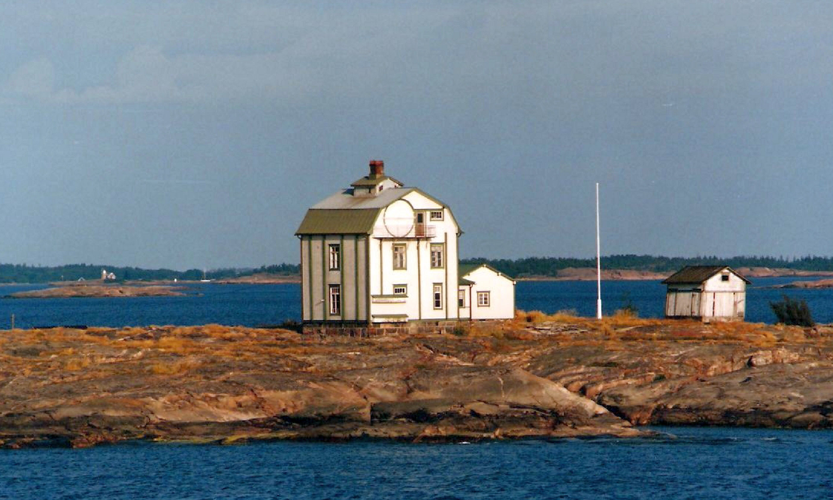 Åland (Flickr Creative Commons: Leo-setä)
Cycle to 14th-century Kastelholm Castle; hike the three-day 63km Sadelin trail, which wends via primeval forests and ancient burial grounds; and explore capital Mariehamn’s maritime heritage. Then catch a ferry to one of the tiny villages on the outlying islands. Or kayak with sea eagles around the uninhabited atolls – the safe, isle-scattered Föglö area is ideal for beginners.
When to go: June-August is high season, when temperatures can reach the mid-20°Cs and most Finns/Swedes visit; around this time it’s light from 3am to 10pm. May and September are quieter options. Winters can be cold (-10°C).
How to go: The fastest ferries leave from Grisslehamn or Kapellskär (both Greater Stockholm; 2hrs) and Turku (Finland; 5hrs). Flights to Mariehamn airport leave from Stockholm (30mins), Turku (30mins) and Helsinki (1hr).
11. Ikaria, Greece
Coordinates: 37°35’N 26°10’E
Area: 255 sq km
Population: 8,420
Why go? Named after over-ambitious Icarus, who fell nearby after flying too close to the sun, the island of Ikaria seems a similarly unreachable target. Only 50km off the Turkish coast, it was long ignored by the rest of Greece; even now, few ferries make it here. But it’s worth the bother, because isolation has left the island little scarred by the 21st century. The tavernas, traditions, food and feel remain typically Ikarian.
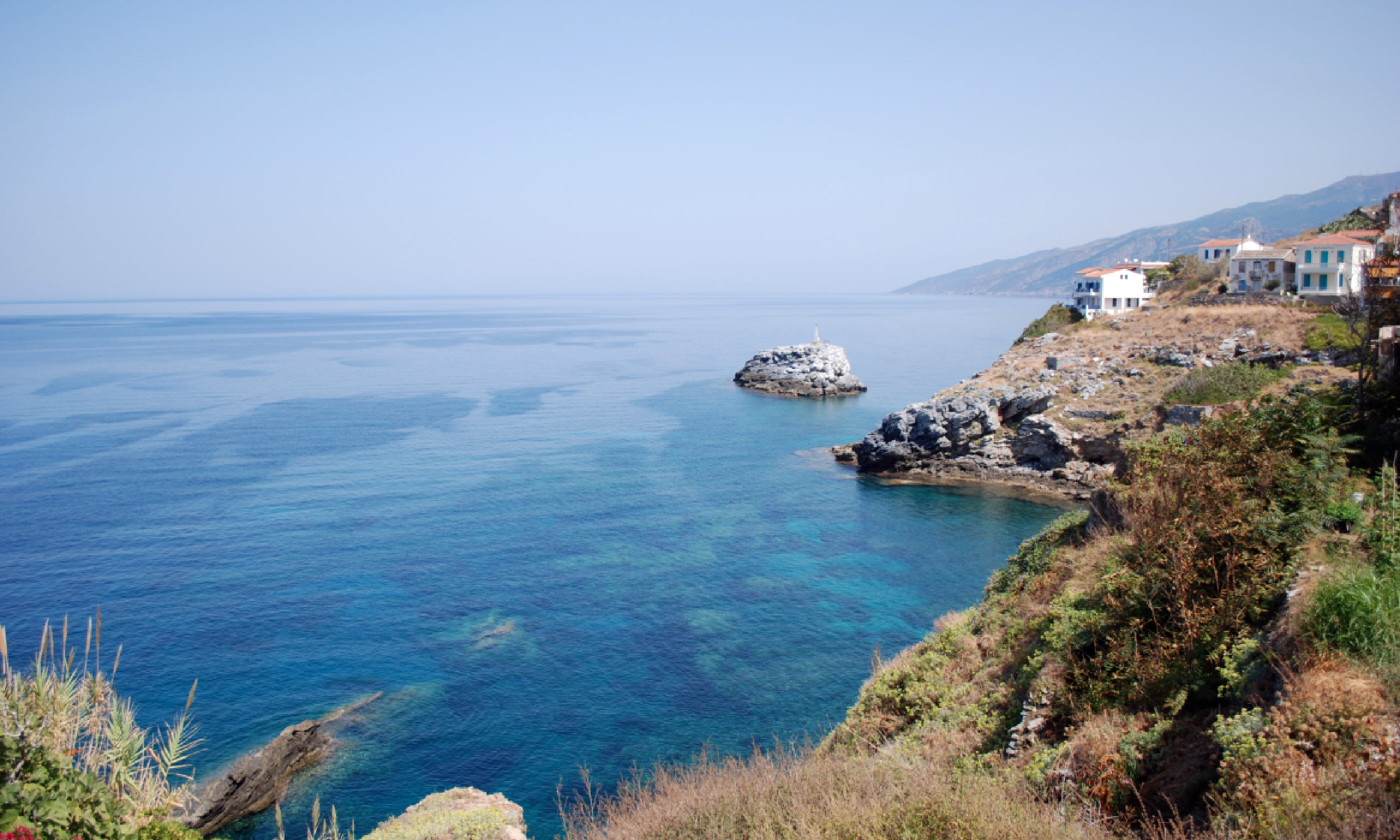 Ikaria, Greece (Flickr Creative Commons: almekri01)
The landscape is an undulation of richly forested mountains (peaking at 1,037m) that plunge to a 160km-long coastline, free of large-scale development. There are fishing villages and olive groves, Roman baths and ruined temples. And there are also truly fascinating people: the island is one of the world’s few ‘blue zones’ – places where the residents live astonishingly long lives.
On average, Ikarians live ten years longer than people in the rest of Europe. They also have far lower rates of cancer, depression and dementia, and stay physically active into their 90s. Visit for a week, live like a local and hope the longevity rubs off.
When to go: June-September has milder temperatures and fewer tourists. Ikaria celebrates many saints’ Feast Days from April to October.
How to go: Ferries run to Ikaria from Samos (4-5hrs), the maritime hub of the eastern Aegean. Flights link both Ikaria and Samos with Athens (both around 40mins).
12. Buccaneer Archipelago, Australia
Coordinates: 16°07’S 123°20’E
Area: 50 sq km
Population: 0
Why go? It’s not easy to reach the Buccaneer Archipelago. This uninhabited scatter of around 1,000 islands is strewn off Western Australia’s Kimberley Coast – which itself is fairly inaccessible.
You don’t accidentally pass through the Kimberley: this is the end of the road. And the Buccaneers are beyond it. Subsequently, they are almost flawless, fringed by white sands and mangroves, fuzzed by rainforest and teeming with critters – from crocodiles to fish, bats and birds.
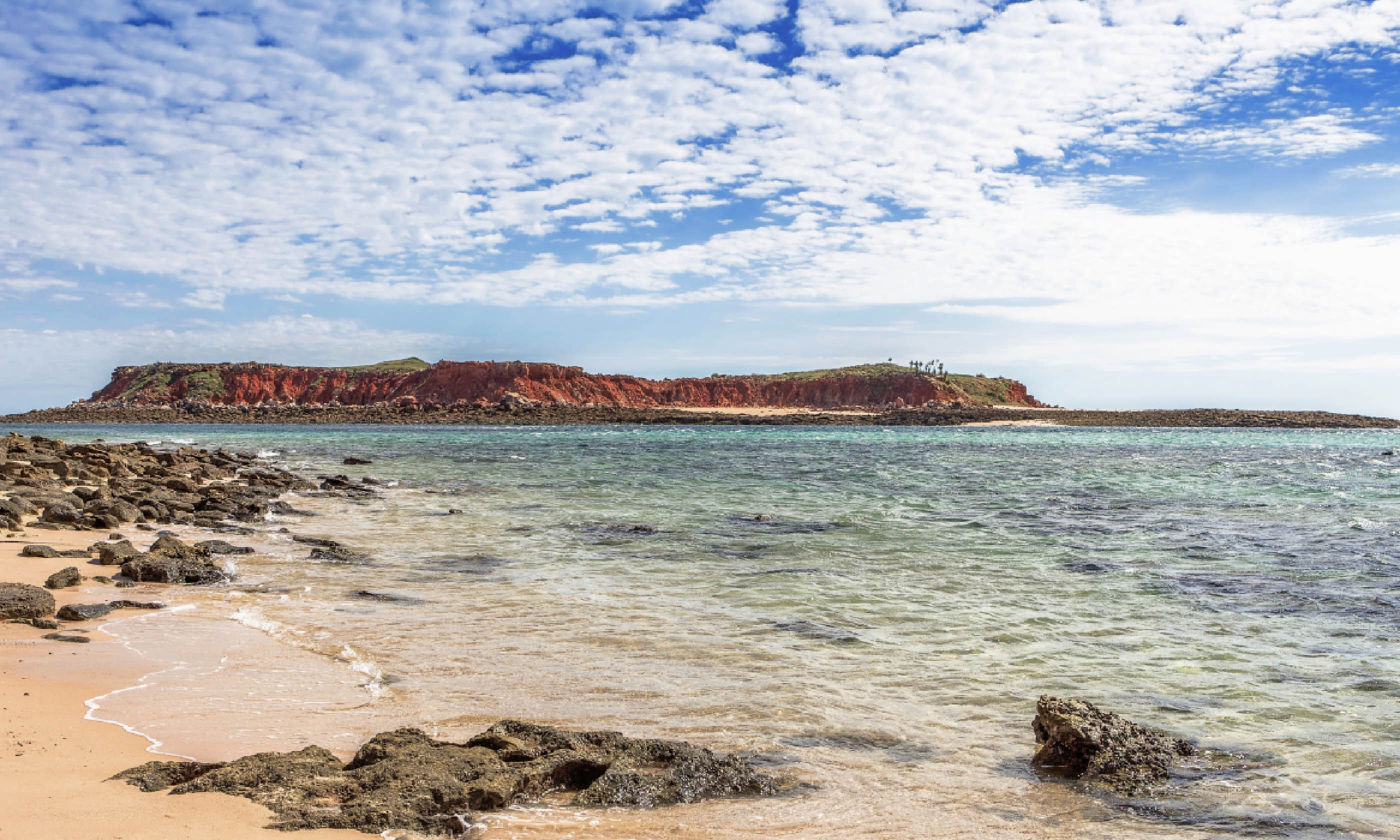 Cape Laveque in the Kimberley region of Western Australia
There has been some human interference, however: hikes onto the islands will reveal Aboriginal rock art daubed on cave walls and the burial sites of the pearlers who used to work these waters.
Don’t leave without taking a dip at Silica Beach, shooting the horizontal waterfall in Talbot Bay (the result of some of the biggest tides in the world), collecting and shucking oysters fresh from the rocks and keeping a lookout for dolphins and whales.
When to go: The dry season is May to October. Waterfalls are fullest April-May, just after the wet season. July-September is the best time for spotting humpbacks.
How to go: Cruises and sea safaris operate from Broome and Derby in Western Australia. Scenic flights also run from Derby. Helicopter and float-plane charters are possible.
Main image: Limestone islands in Wayag, Raja Ampat (Shutterstock)


