Cycling New Zealand's Otago Central Rail Trail
Follow a gold rush train track through New Zealand's South Island – it's fast becoming the country's greatest bike ride, and is bringing new hope to old communities
New Zealand’s famous winds had lodged in my head before I’d even reached the South Island. The way a gust can come out of nowhere and blow you off your bike. But I didn’t know how quickly the gale’s direction could swing through 180 degrees and turn a tail wind into a head-on struggle. I soon found myself looking at the next curve on the trail, trying to figure out whether it would speed my progress or add to the sense of challenge. Although that’s not quite how I put it at the time.
But the ache in my thighs and panic in my eyes didn’t spark a single flash of regret. I was on the last of three days cycling the 150km Otago Central Rail Trail through the south-east of New Zealand’s South Island. I’d wanted to experience this pioneering trail – one of New Zealand’s 23 Great Rides – ever since I read about it. Connecting Middlemarch and Clyde, it follows the old railway tracks that used to bring gold rush prospectors to the area a century ago.
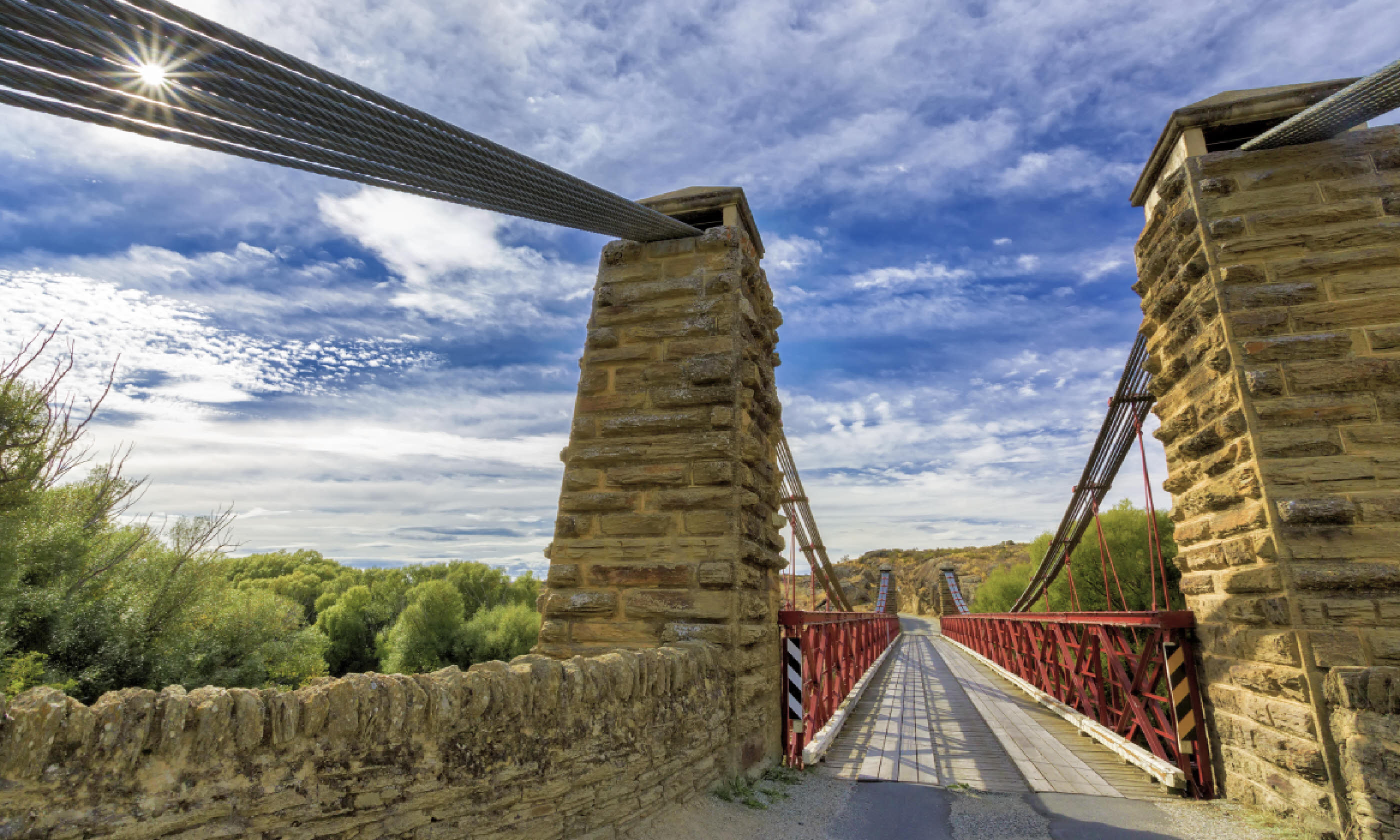
 Manuherikia River at Ophir, Otago (Shutterstock)
But although the area’s bling days are long behind it, a new generation was determined not to waste this asset. The hope was that this magnificently engineered ribbon, winding through fabled bucket-list scenery, could once again sustain these remote communities and prevent the locals from having to desert the place they love.
Now, around 16,000 cyclists a year visit this trail, lured by the prospect of hidden travel treasures. What was once a very much beaten track is now a well-marked trail that’s as easy to follow as it is to ride – and it’s providing a vital second industry to this deeply agricultural area.
Now I, too, was becoming a prospector. I had come to meet the people who this track helps provide for, and to find out how much of the South Island I could really experience in 72 hours of cycling.
Day 1: Cycle for survival
I started my journey in the small town of Clyde, 50km inland from Queenstown. Still bearing the imprints of its gold rush history, its many stone and wood buildings would provide the perfect set for a film about the 1860s mining frenzy – including the old railway station where I collected my bike.
The flat 8km through orchards and vineyards to Alexandra were perfect for getting acquainted with the bike and the trail’s features. I stopped at the first of the corrugated-iron gangers’ huts that punctuate the route and provide shelter.
Here I chatted to two girls from Norwich heading the other way and poured over the outstanding information boards. Imaginatively illustrated, these describe the flora and fauna, civil engineering structures on the trail, local history and what to look out for before the next hut. That included Muttontown Gully, the first of many trestle viaducts I would rumble across.
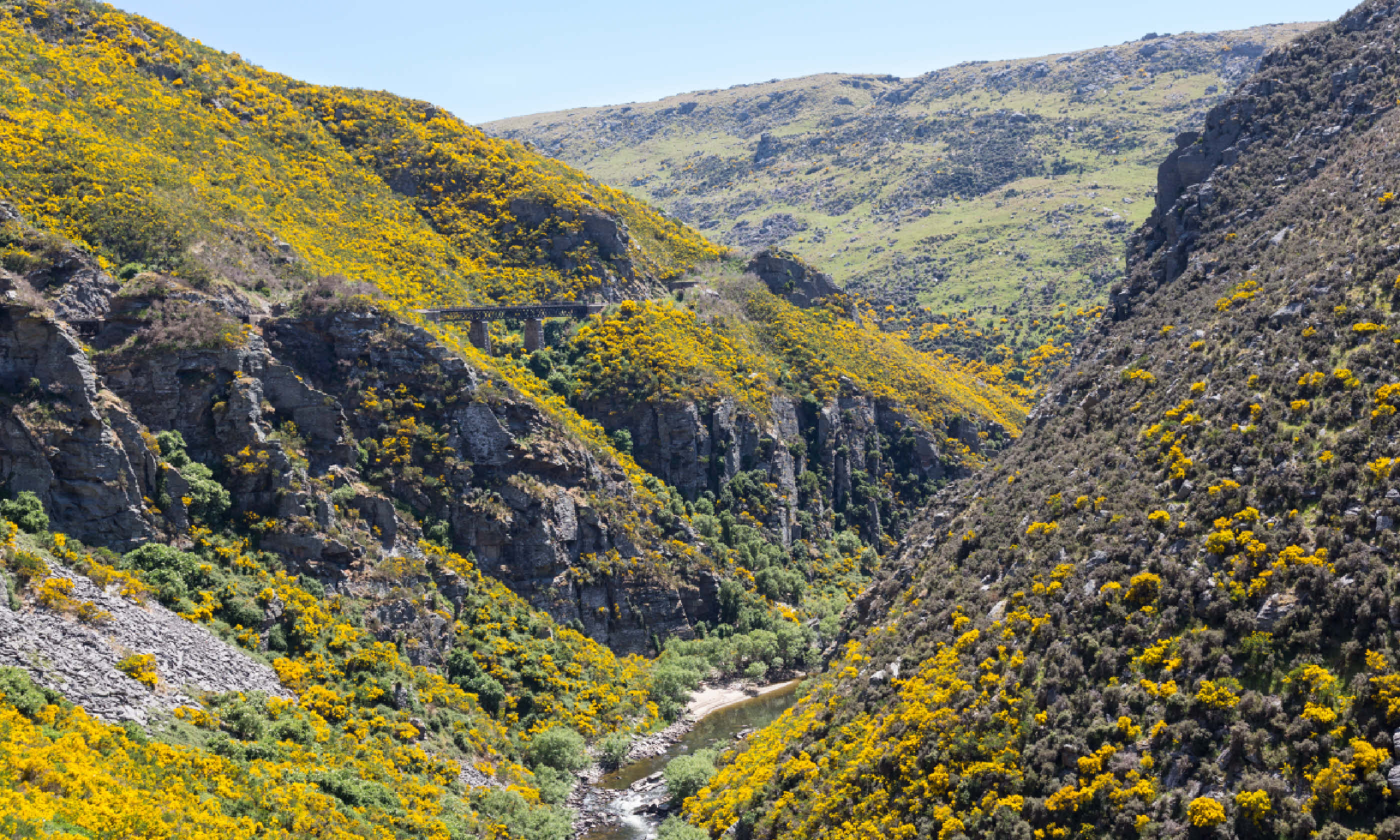
 Taieri Gorge
The trail crosses Galloway Flat beside the Manuherikia River, where ranch land once nurtured flocks that filled trains of doubledeck sheep vans. Appropriately, I was ready for lunch as I forged past Tucker Hill, so named because the miners in this area won only enough gold to pay for their tucker.
I had been recommended to stop at Chatto Creek Tavern. It first opened its doors in 1886 and its original patrons would have been astounded to see today’s menu of dishes such as salmon ballotine and blue cod. But customers for such fare are recent, proprietor Lesley Middlemass told me. Like many of the settlements along the railway, Chatto Creek was dying after the last train whistle was heard in 1990. Lesley had little doubt that the pub now owed its survival to the trail.
With other trail users, I sat down to a clam chowder surrounded by the paraphernalia of the pub’s former customers – farm workers and rabbiters working on the sheep stations. Possum traps, sheep shears and firearms flanked the chilled water cooler that cyclists use to fill their bottles.
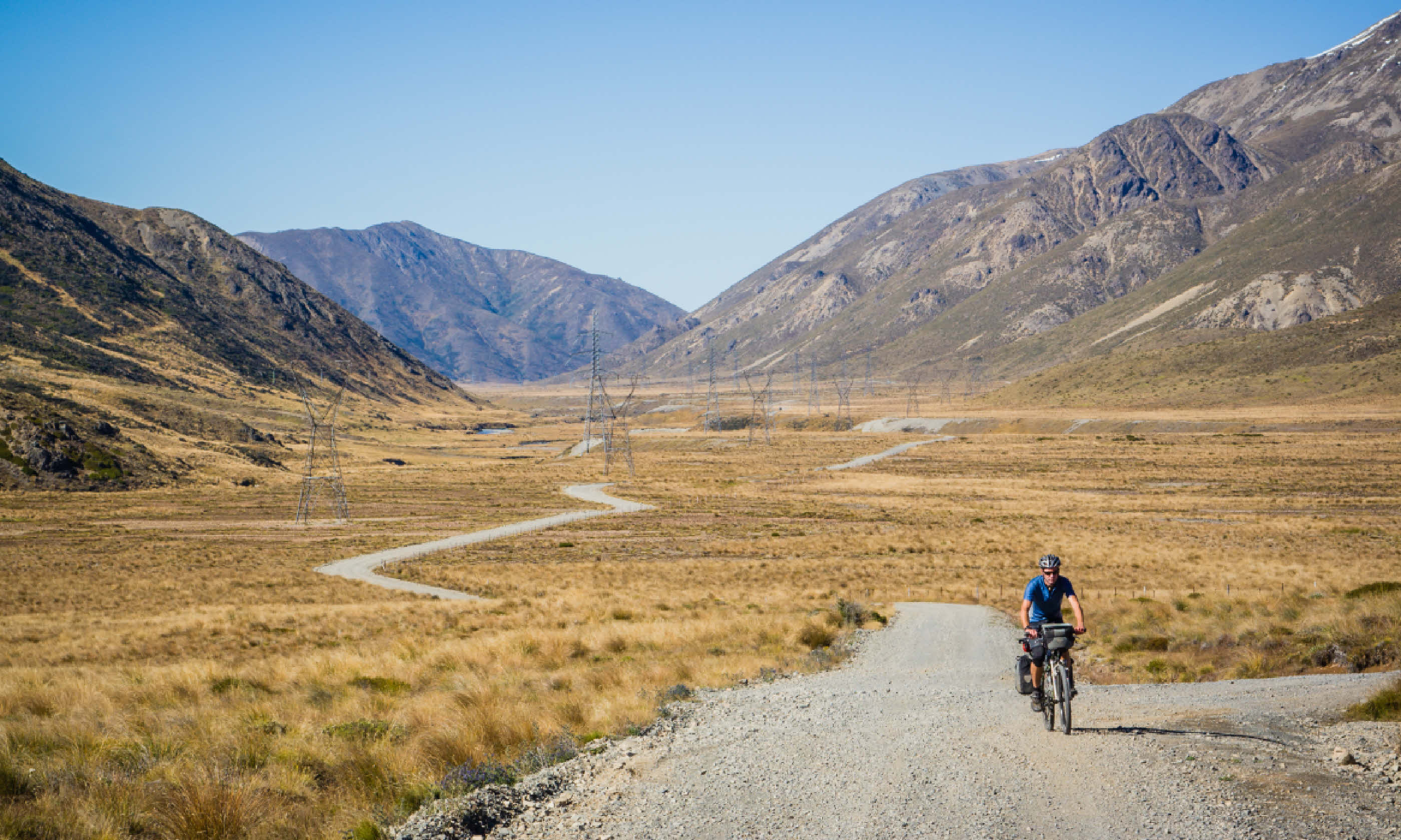
I wasn’t back in the saddle for many minutes before sensing the start of the climb up to Tiger Hill, which became as steep as one in 50. Winding up the S-bend towards the summit, I took in the views over the Dunstan Range and the outcrops of tor-like schist.
The weather had been dry and the farmers were desperate for rain, so the land wore a mantle of umber, relieved by the summer green of trees and the ubiquitous gorse. Introduced from Scotland in the 1830s to hedge livestock, it is almost impossible to eradicate since its seeds can lie dormant for 40 years or more. Alone amid the imposing serenity, I couldn’t help but hope that the weather would hold for a little longer.
At Omakau I made a detour to unearth a precious treat in the shape of Ophir, just 2km off the trail. This gold-rush town had been bypassed by the railway to save a bridge across the Manuherikia, but its proximity to the trail and its many old buildings have encouraged enough visitors to generate a revival in the fortunes of the single-street town, which is home to New Zealand’s oldest post office – a small stone building dating from 1886, with three round-arched windows shaded by semicircular canopies.
Passing salutations to the occasional fellow cyclist, I continued to my first overnight stop across flattish dairy-farming country. Named after the Berwickshire town, Lauder was a typical Otago settlement of a dozen or two scattered single-storey houses with red and green corrugated-iron roofs.
The converted Lauder Store, where I stayed, was made of the dried mud-brick common throughout Central Otago because of the sparsity of trees and cost of stone. Locals in the convivial bar over the road were diluted by a French family and a German cyclist, a reminder that word on the trail was quickly spreading and translating.
Day 2: Time warp country
The next morning began with the climb towards the summit near Wedderburn, a vertical ascent of 285m from Lauder. Crack willows lined the river below, shimmering as their contrasting dark and light leaf surfaces caught the wind. A curved viaduct carries the trail over the final crossing of the Manuherikia River before the line climbs through two tunnels in Poolburn Gorge.
This is where I discovered that it’s impossible to maintain a central course through a tunnel, even if you can see light at the other end. I had rashly ignored a sign advising cyclists to walk through the tunnels and found that the beam from a Maglite barely cut the gloom and failed to prevent a curious loss of spatial awareness. I weaved like a drunk towards the other end.
The exit from the second tunnel provided an extraordinary transition from the stark schist cuttings of the gorge to a panorama over the pasture land of the Ida Valley. You could see why Peter Jackson chose this epic valley for scenes set in Rohan in The Lord of the Rings. The broad glen, a gentle range of hills with trees filling the declivities, was riven by tree-lined water courses.
Though I hadn’t quite reached the summit, I had to stop to soak in the features of such a vast canvas. Legs tiring from the steady climb, I happily obeyed the recommendation of an information board and paused to admire the monumental masonry piers of Poolburn Viaduct, its stones hewn from local outcrops. Then, a long straight stretch brought me to one of the ‘mustn’t miss’ sights just off the trail, the Hayes Engineering Works.
At the heart of this miraculous time warp is the workshop of belt shaft-driven machines, looking as though the workmen had just downed tools for tea. It was created by Ernest Hayes from Monks Kirby in Warwickshire who emigrated in 1882 and became famous by inventing the Hayes Smooth Grip Wire Strainer in 1924. Astonishingly this tensioner of wire fencing is still being made.
Settlements are so few and far between that village shops that would have shut decades ago in Britain somehow keep going here – though the trail has helped their survival. In the next village of Oturehua I found New Zealand’s longest-running store, Gilchrist’s, which has been trading since 1898. It’s one of those places where you reveal your age by remembering a venerable meat slicer, the drawers of cotton reels or a manual telephone exchange. It was a delight, putting me in the perfect frame of mind to begin my ascent to what was the line’s summit.
From here, taking in the priceless 360° view around me, it seemed hard to imagine that there had initially been such a strong opposition to the Central Rail Trail. Farmers were worried about weed control and the cost of re-fencing. It was the women in the communities who could see the benefits of bringing new visitors to the area and putting spare rooms to work as B&Bs. The enlightened Department of Conservation set up the trust that saw the whole 150km reopened by 2000.
After such a long climb, it was a relief to let gravity take over, assuming the wind didn’t have other ideas. I stopped at Wedderburn Cottages to talk to Stuart Duncan who has created a café and small exhibition about the railway. Here I learned that the Otago Central Railway was begun in 1879 from Dunedin to transport supplies to and from the gold-rush settlements. However, it was not until 1907 that it was finally opened to Clyde, earning itself the nickname ‘the mile a year’ line for its slow progress.
I stopped for a late lunch at Ranfurly, the largest town of the Maniototo Plains, which has some fine 1930s art deco buildings thanks to suspicious fires destroying their predecessors. The station building is one of the few still standing and is now the tourist information office.
I tried to imagine what it was like when trains crossed here and disgorged their passengers into the station dining room; it was not uncommon for confusion over the trains to ensue, and a few passengers found themselves retracing their tracks. Now, the travellers I saw passing through on two wheels had no doubts about which directions they were going in.
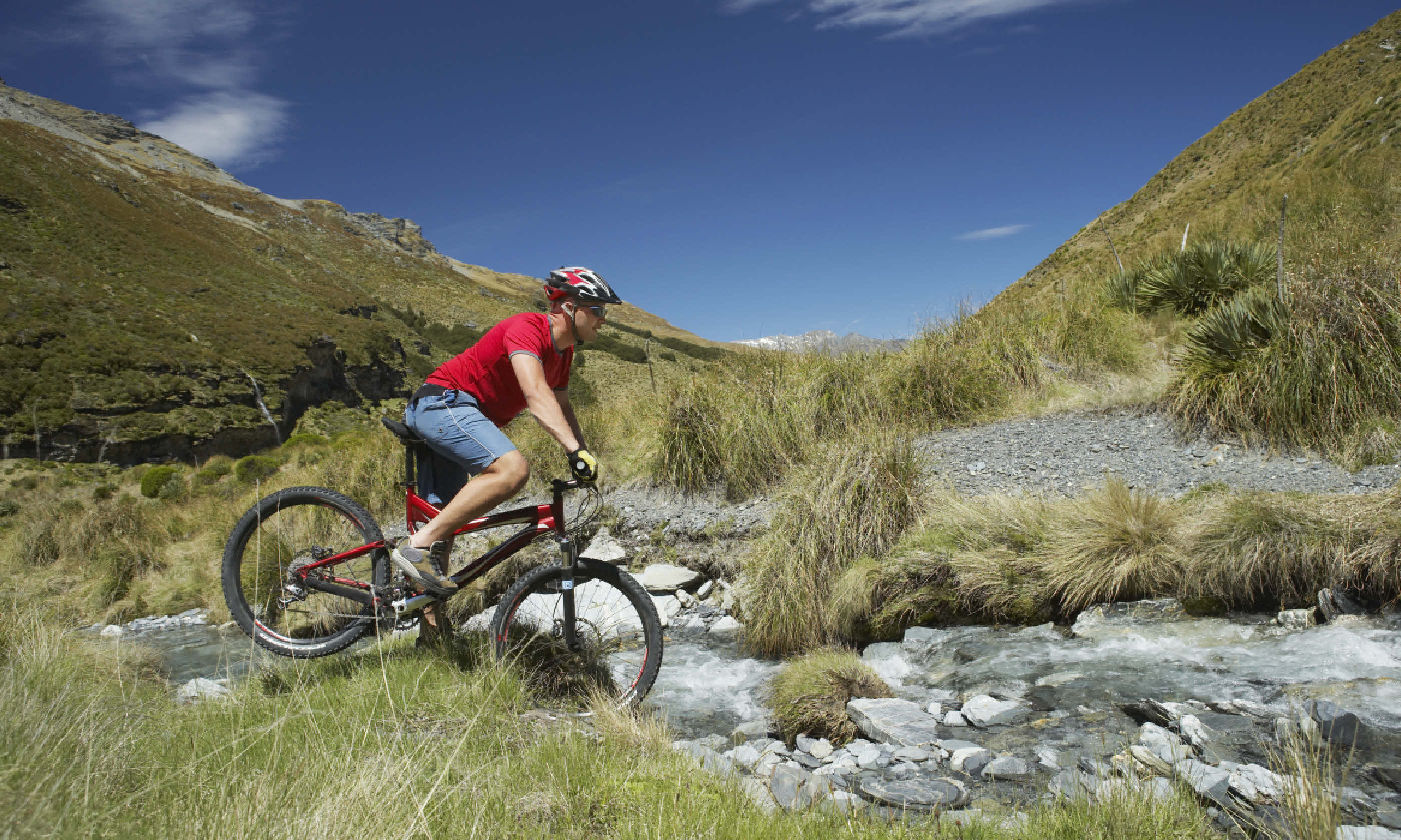
 Cyclist, New Zealand (Shutterstock)
Another long straight through wide-open country helped me appreciate the Otago’s famous big skies. After the trail’s only crossing of the Taieri River, which the railway follows to the sea, I reached one of those places that seems a surprise to find in an such empty surrounds. Screened by a crescent of pines at the back and overlooking a gentle bowl of countryside, Kokonga Lodge is home to Malcolm Edwards and Dorothy Piper; he creates colour in the garden, she on canvas, and both on the plate, concocting outstanding dishes using produce from the garden. After a day dense with the South Island’s delights, these were very welcome indeed.
Day 3: Pure gold
Rather reluctantly, on day three I left the idyllic lodge to tackle the final 44km to Middlemarch. Deep rock cuttings filled with pine cones alternated with embankments giving views over crumpled hills as the trail wound around the contours. I stopped to don rain gear, with the farmers no doubt rejoicing, before finding sanctuary from the shower in Hyde’s Otago Central Hotel – ‘Stop and eat or we’ll both starve to death’ warned its trail-side board. Near the hotel is a First World War memorial bearing 12 names; Hyde barely had 12 houses.
I cycled through Straw Cutting where the worst accident on the railway occurred in 1943: the derailment of a Dunedin-bound train travelling at twice the permitted speed killed 21 of the 113 passengers. Those passengers are commemorated by a cairn to the south, which looked particularly lonely surrounded by grey skies and desolate hills that invoked comparison with Scotland’s low country. It was hard not to be moved by its staunch isolation.
In contrast, the dangers for trail cyclists are mainly limited to those deceptive South Island winds, never sure whether to be friend or foe. In the closing kilometres, squalls occasionally forced me to slow for fear of becoming airborne. I could well understand why the station building at Ngapunahad to be wired to iron posts to stop it blowing away.
As I rounded the final curve, far in the distance at the end of the trail’s longest straight I could see journey’s end at Middlemarch. As I headed for the small grid of streets lined by wooden single-storey houses, I finally felt that pang of regret – that the journey wasn’t longer. But there was also that slow-burning warmth of satisfaction, even elation.
It seems there is still gold in those endlessly epic hills after all, and this time there’s enough of it to help support the community around them for the long haul. Now all you have to do is beat the rush.
Make it happen
The Otago Central Rail Trail can be cycled independently. Note, it would be unwise to set off without booked accommodation.
Alternatively,
Trail Journeys can arrange all you need for the journey – from itinerary advice to bike hire, bag transfers, accommodation and car storage. It has well-set-up facilities in Clyde and Middlemarch, offers specially designed 24-speed bikes with front suspension, and prepares clients with a film giving information and advice about the trail. Trail Journeys provides the same service for some of the New Zealand’s other cycle trails, including the Clutha Gold Trail and the Tasman’s Great Taste Trail.


